real-world-terrain
- By
A Minecraft NeoForge mod featuring realistic 1:1-scale terrain generation, USGS elevation data, procedural landscapes, 3D caves, rivers, and climate simulation.
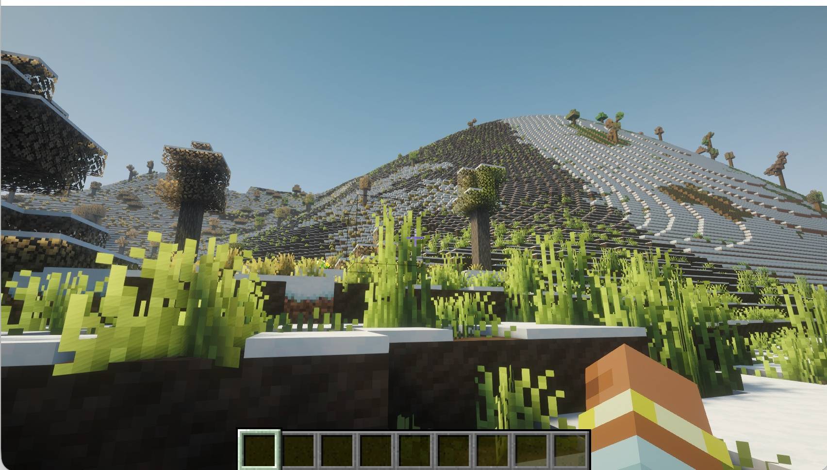
realscale_under_1mb.jpg
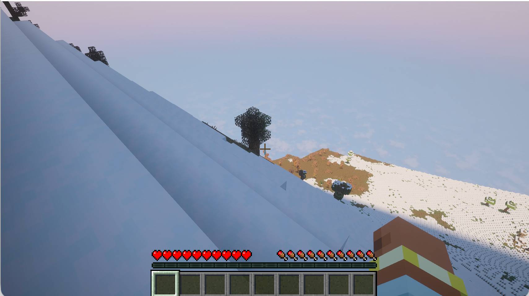
RealScale_snowy_mountain_under_1MB.jpg
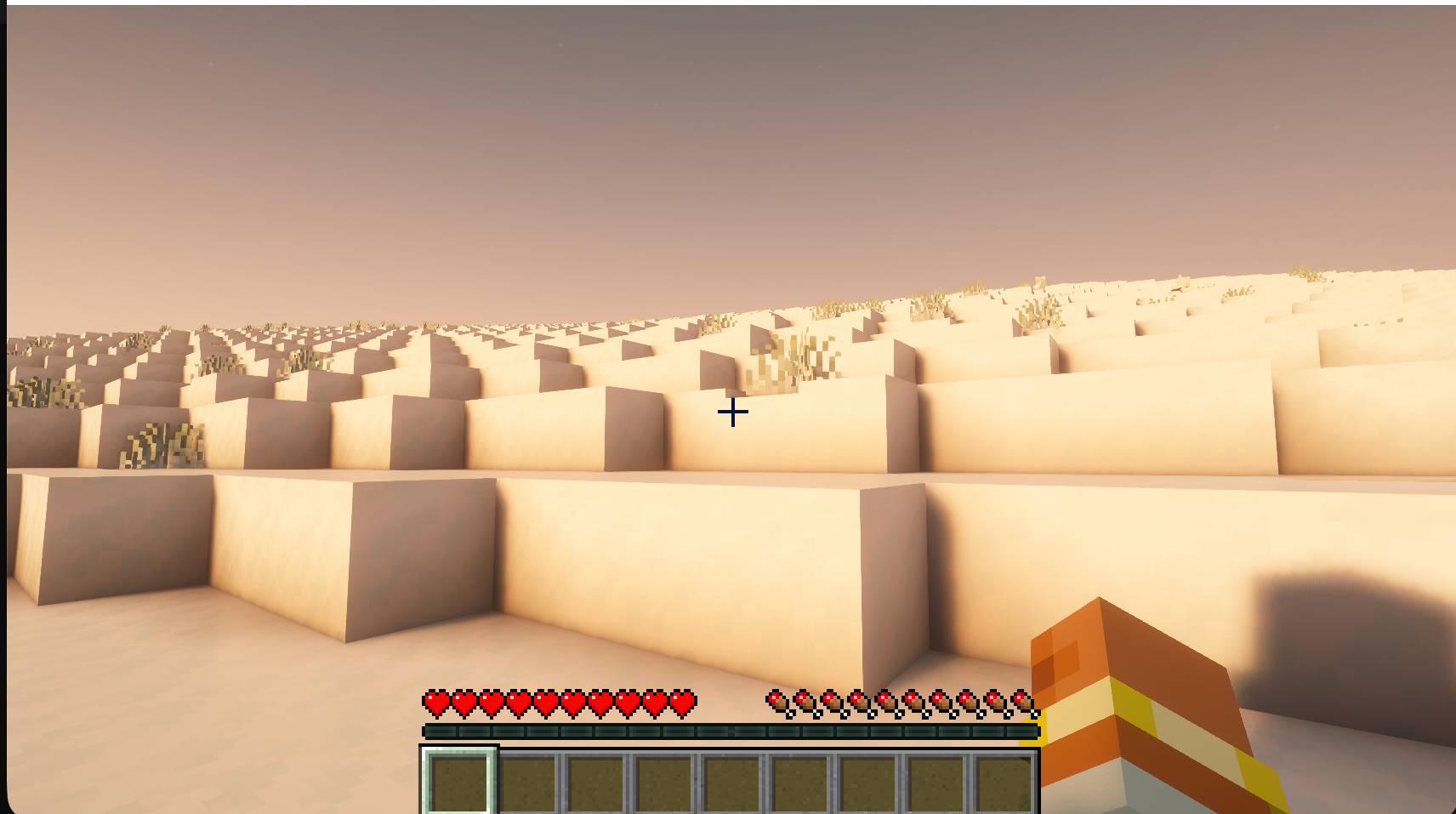
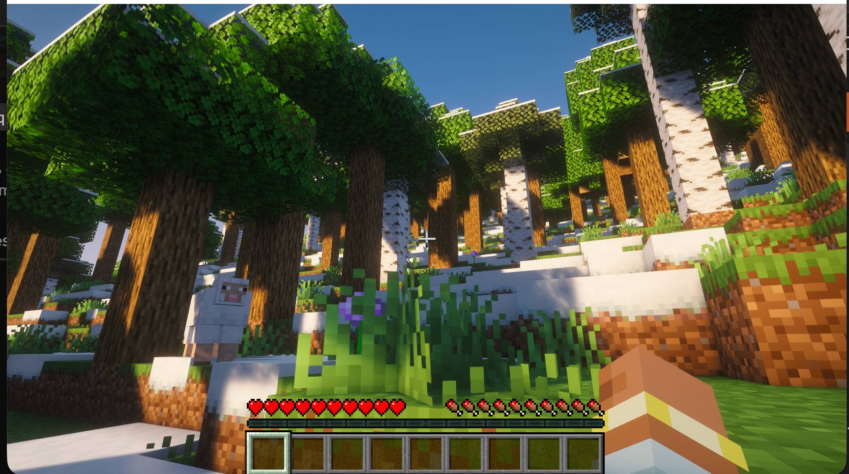
RealScale_forest_under_1MB.jpg
Description
RealScale Terrain — Realistic World Generation for Minecraft
Project Overview----Optimization Mode is recommended for the best balance of world-generation performance, stability, and visual quality(Chunky is recommended)
RealScale Terrain is an experimental Minecraft world-generation mod developed using Java and NeoForge for Minecraft 1.21.1. Its primary purpose is to transform Minecraft's terrain generation into a more realistic, geographically coherent, and scientifically inspired system, combining real-world geographical data with advanced procedural algorithms to create diverse, continuous, and naturally structured landscapes.
The project aims to overcome the limitations of conventional Minecraft world generation by introducing terrain systems inspired by real-world geography, geology, hydrology, and climatology. Rather than generating mountains, valleys, rivers, caves, and biomes as largely independent features, RealScale Terrain explores ways to integrate them into a more unified environmental generation framework.
Operating at a horizontal scale of one Minecraft block per meter, the mod seeks to create expansive landscapes that reflect realistic geographical proportions, elevation differences, terrain continuity, and environmental variation.
Core Features
1. Real-World Elevation Data Integration
RealScale Terrain supports terrain generation using elevation information derived from the United States Geological Survey (USGS).
Its experimental Big Sur terrain preset incorporates real-world digital elevation model (DEM) data, allowing sections of Minecraft terrain to reflect measured geographical landforms. Interpolation and terrain blending techniques help integrate the imported elevation information with surrounding procedurally generated landscapes.
The one-block-per-meter representation describes the Minecraft terrain scale rather than the measurement resolution of the original geographical dataset.
2. Advanced Procedural Terrain Generation
The mod provides several specialized world-generation presets designed to produce distinct geographical environments, including:
- Realism MAX — comprehensive natural terrain generation.
- GeoReal Ultimate — complex, multi-scale geographical landforms.
- Himalayan — high-altitude mountain environments.
- Grand Canyon — dramatic canyon and plateau landscapes.
- USGS Big Sur — terrain influenced by measured real-world elevation data.
Additional legacy presets and experimental terrain combinations expand the range of available world-generation algorithms.
The development process emphasizes smoother landform transitions, improved terrain continuity, varied elevation profiles, and reducing unnatural geometric artifacts.
3. Three-Dimensional Cave Generation
RealScale Terrain investigates underground generation through three-dimensional noise-based cave systems.
The experimental cave algorithms combine different underground cavity structures with terrain-depth constraints, aiming to produce more coherent underground environments while preventing excessive hollowing of mountains and other terrain-generation problems.
Cross-chunk connectivity, cave density, and underground traversability are evaluated through automated tests and analysis of generated Minecraft worlds.
4. River Systems and Hydrological Features
The project explores improved river generation that accounts for local terrain elevation and surrounding geographical conditions.
Experimental systems introduce surface-level river channels, riverbeds, water placement, and interactions with freezing conditions in cold environments.
Long-term development aims to improve watershed coherence, river continuity, and relationships between terrain formation and water distribution. Fully realistic hydrological and erosion simulations remain research objectives rather than completed features.
5. Climate-Aware Biome Generation
RealScale Terrain is also developing a more geographically informed climate and biome-generation framework.
Experimental algorithms investigate the influence of altitude, latitude, terrain depressions, and regional environmental conditions on biome distribution.
These include altitude-dependent temperature adjustments, optional valley warming, and configurable latitude models, including experimental concentric latitude rings.
The objective is to produce more coherent transitions between warm lowlands, temperate regions, cold mountain environments, and other geographical climate zones.
6. Customizable Terrain Generation
Experimental development introduces configurable terrain profiles that allow adjustments to selected world-generation parameters, including:
- Terrain relief and elevation.
- Mountain and ridge characteristics.
- Erosion-inspired geometry.
- Cave activity.
- River-channel configuration.
- Climate and biome temperature adjustments.
- Blending between different procedural landform algorithms.
These configurations are designed around separate world-generation profiles, helping preserve the behavior of existing worlds while supporting experimentation with new terrain settings.
Technology and Development
RealScale Terrain is built primarily with Java 21, Minecraft 1.21.1, and NeoForge, using Minecraft's existing noise-based world-generation architecture alongside custom density functions, imported elevation data, and experimental terrain-processing algorithms.
The repository includes historical development snapshots, research prototypes, test datasets, executable mod builds, and automated quality-assurance tools.
GitHub Actions workflows support compilation, regression testing, and dedicated-server world-generation tests. Additional validation tools inspect saved Minecraft world data to identify terrain discontinuities, cave-generation problems, elevation discrepancies, and other potential issues.
Current Development Status
The repository's main branch contains the preserved v1.1 experimental release candidate, including the USGS Big Sur elevation overlay and seven procedural terrain presets.
More advanced features, including improved cave generation, river placement, customizable world profiles, climate-aware biomes, and additional geological terrain functions, are being developed and tested in experimental branches.
These features are not all included in the currently available v1.1 build. Their scientific accuracy, visual quality, compatibility, and performance require further validation.
Long-Term Vision
The ultimate goal of RealScale Terrain is to make Minecraft world generation more closely resemble the geographical complexity and environmental diversity of the real world.
By combining real elevation measurements, procedural mathematics, terrain modeling, and climate-inspired systems, the project seeks to establish a flexible foundation for generating convincing mountains, valleys, plateaus, canyons, rivers, cave networks, and geographically diverse environments.
RealScale Terrain is both a Minecraft modification project and an ongoing exploration of procedural world generation, geographical data integration, and computational terrain modeling.
real-world-terrain Team