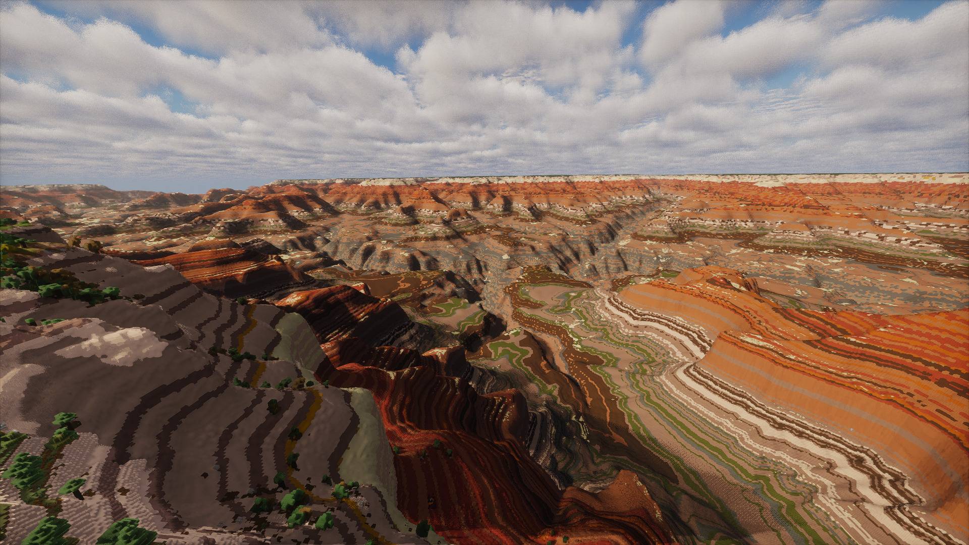
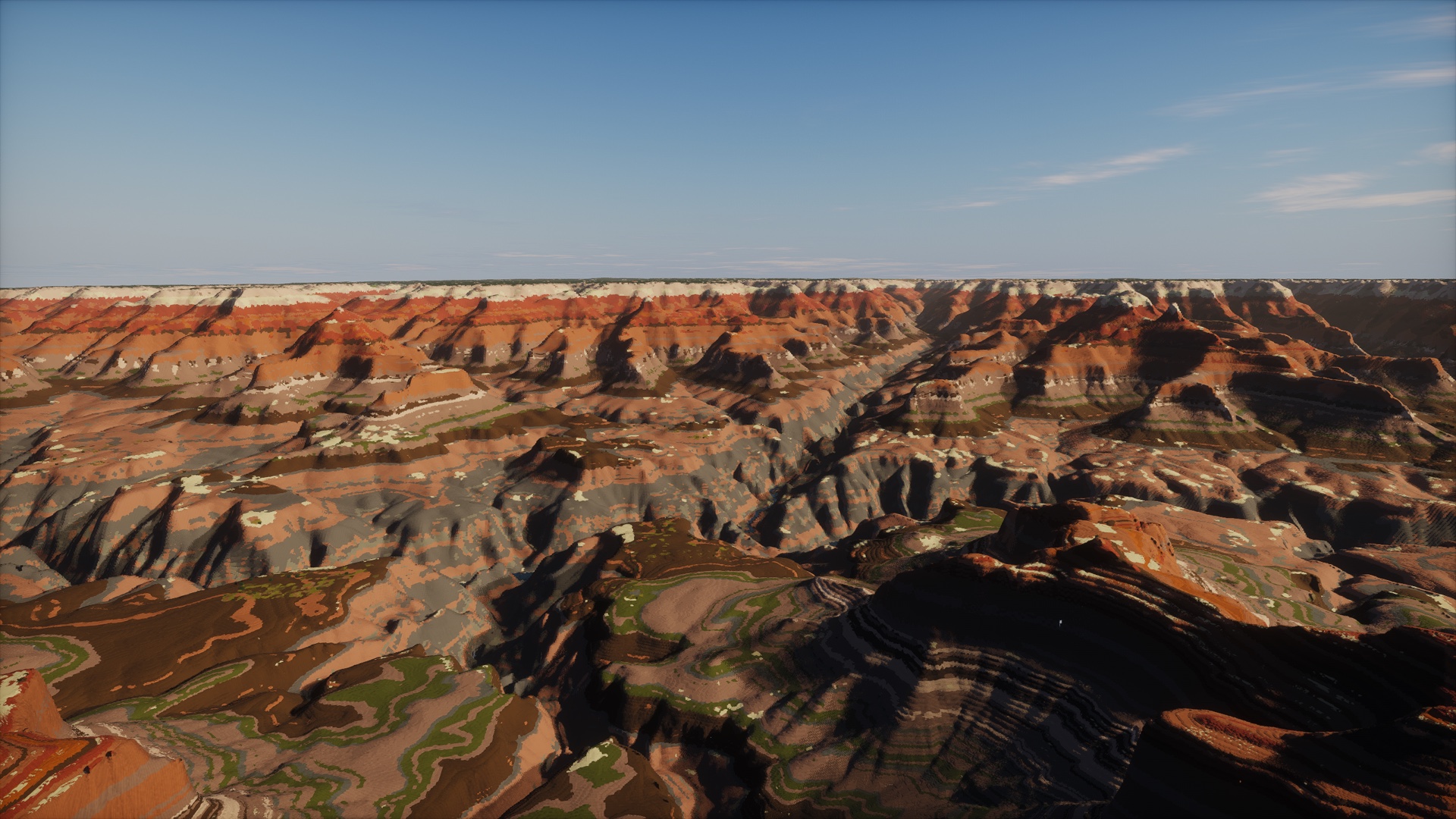
Mather Point at its real depth, with Photon shaders.
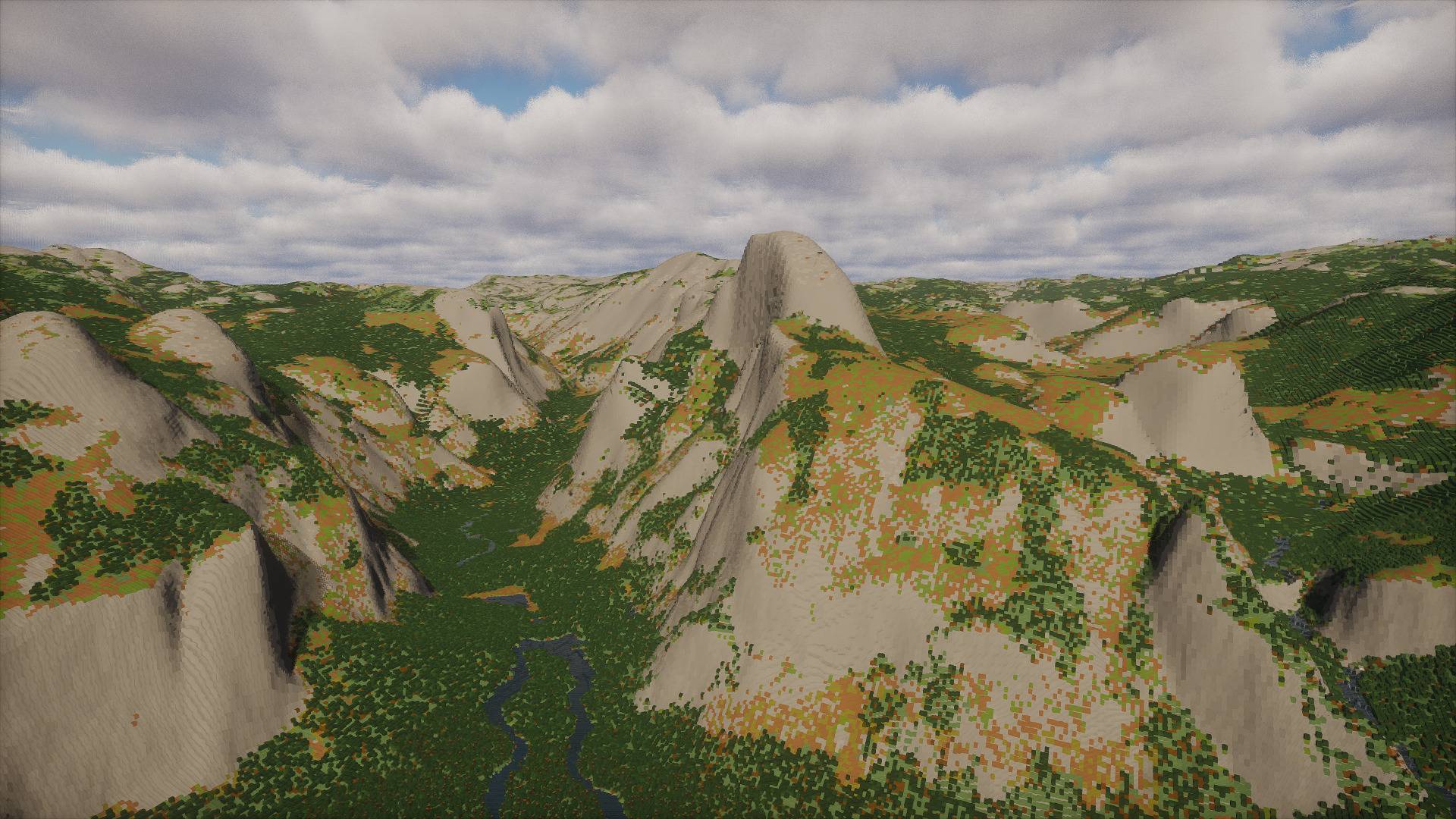
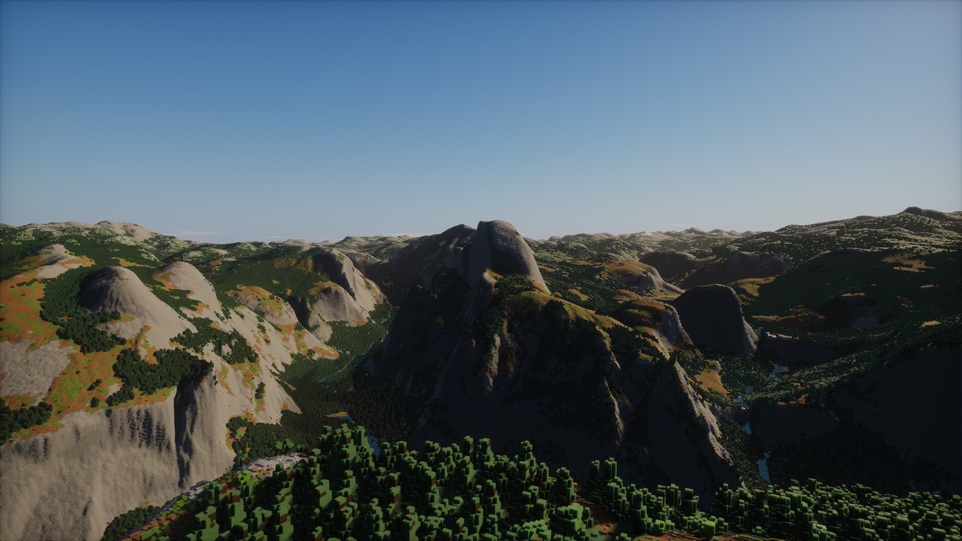
Half Dome and Yosemite Valley from above Glacier Point, at their real heights.
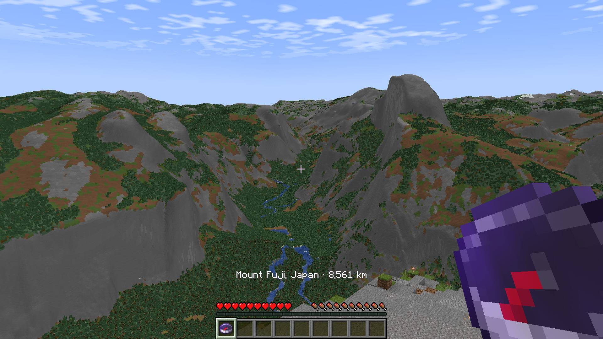
From Glacier Point above Yosemite, a compass pointed at Mount Fuji says it is 8,561 km away.
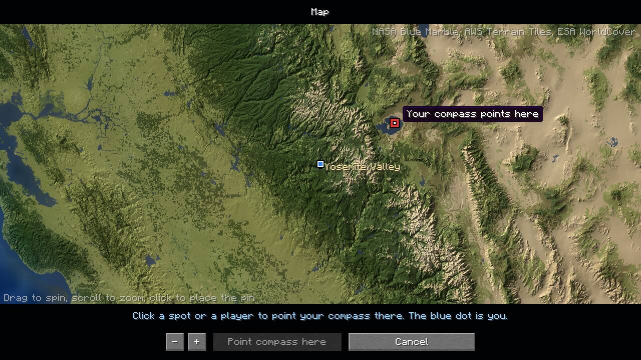
Press N, click a spot, a famous place or a friend, and point your compass there.
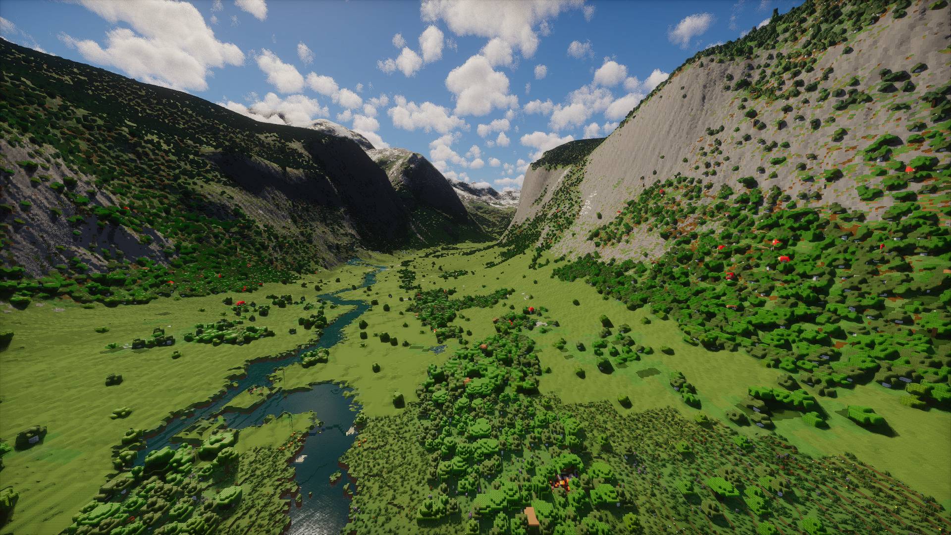
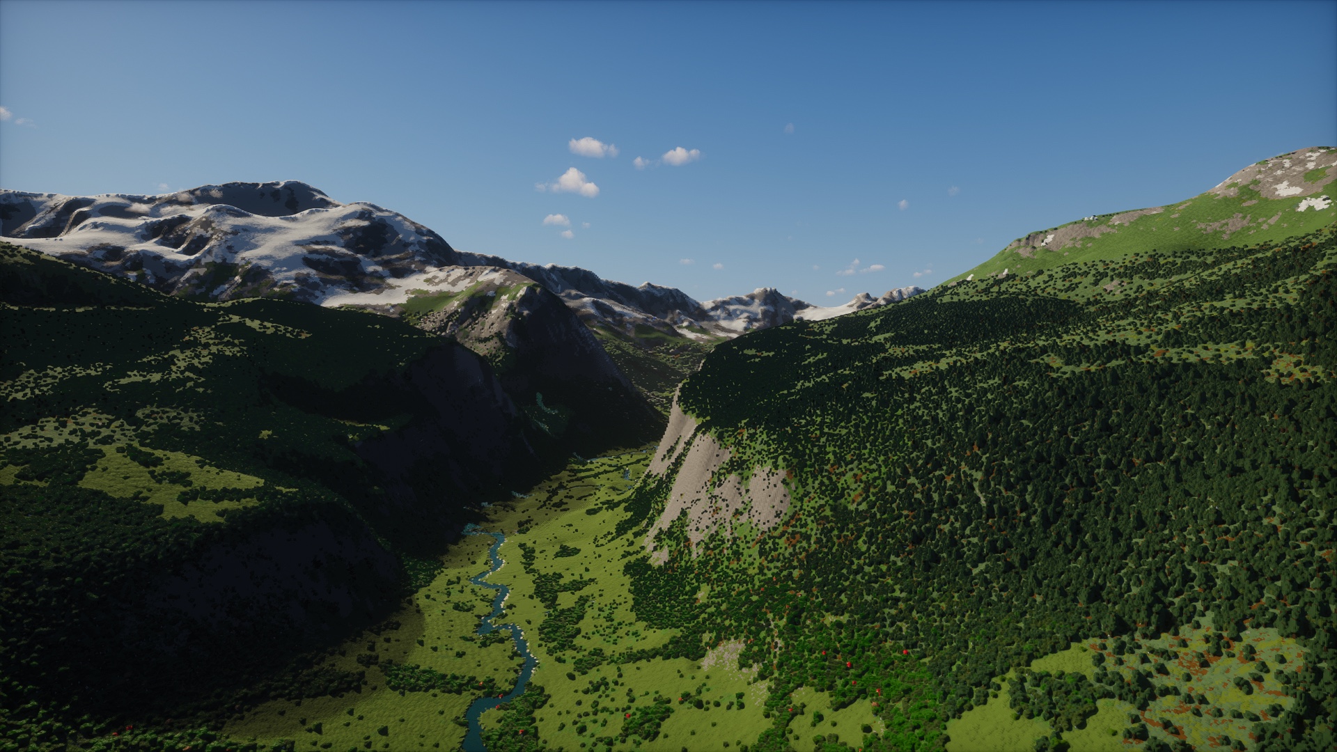
The valley and its river, with the snowy Alps beyond.
Description




The whole planet. Real size. Survival mode.
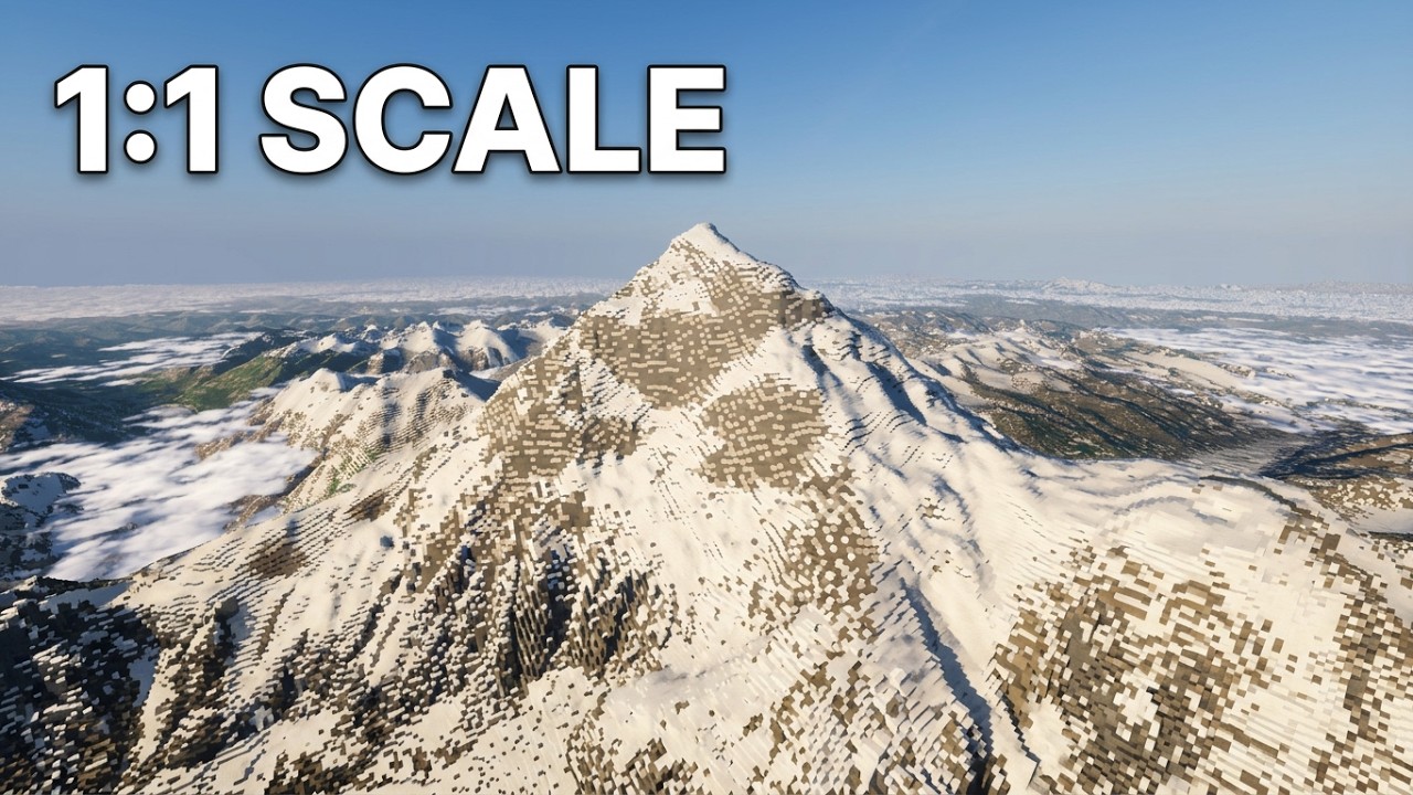
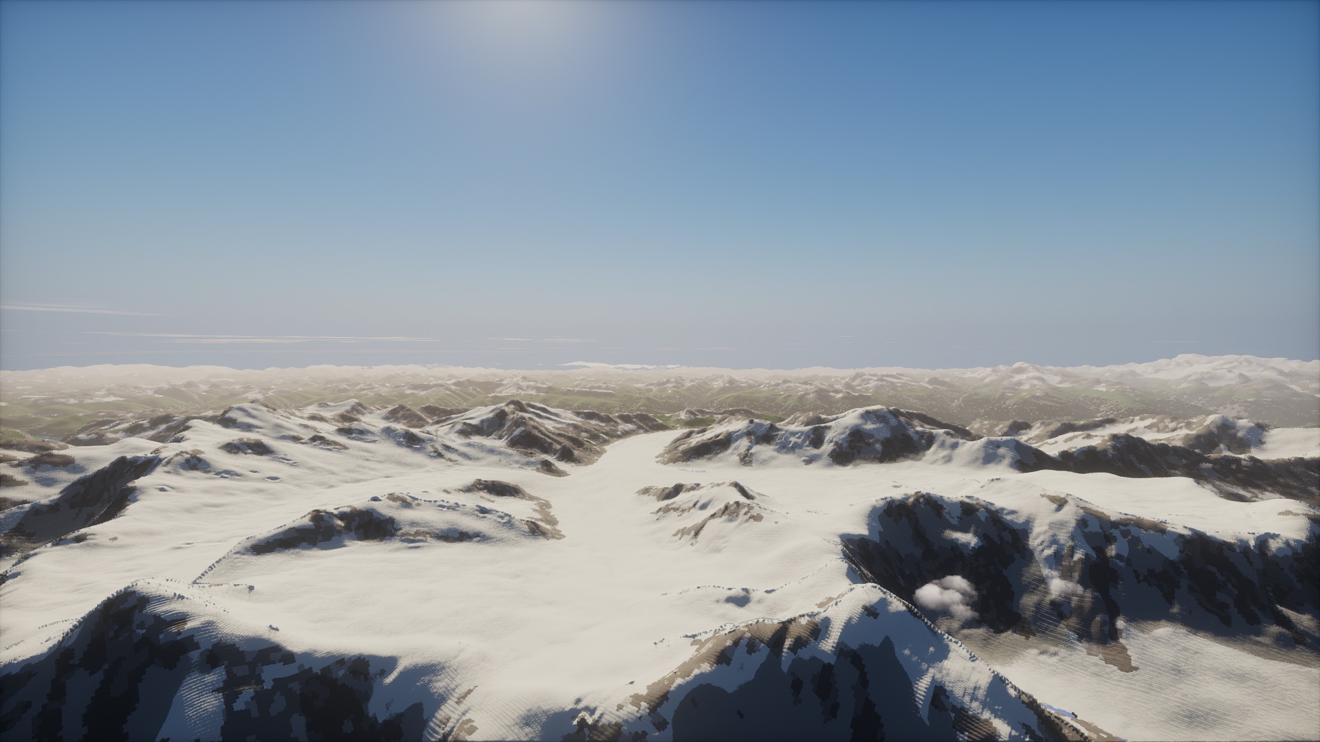
Earth Platform turns Minecraft into the real Earth at 1:1 scale. One block is one meter, everywhere. Everest stands 8,848 blocks tall. The Grand Canyon drops more than a mile to the river. Yosemite's walls, the fjords of Norway, the white cliffs of Dover and the Alps are all where they are on a map, and the mountains on the horizon are real mountains, drawn out to 94 km (58 miles) away.
Pick any spot on the globe, from your hometown to the South Pole, and start a normal survival world there. It runs on NeoForge and Fabric for Minecraft 1.21.1.

🏔️ Climb Everest. Worlds run from Y -16384 to 16383, so the summit is really up there, 8,848 blocks above the sea. Build a house on top. Dig a mine under it.
🔎 Go anywhere by name. /earth find Zermatt lists the towns and famous places a name could mean; click one to go there. /earth visit everest takes you straight to a famous place, and /earth goto <latitude> <longitude> to any point on Earth.
📮 Share a spot. Press F8 for a postcard: a clean screenshot with the place, its height and a place code written along the bottom. A friend types /earth code <code> and stands exactly where you stood, facing the same way.
🧭 Find your way in survival. Press N for a map of the globe centered on you. Click a spot, a famous place or a friend, press Point compass here, and the compass in your hand points there and tells you how far it is, as in "Mount Fuji, Japan · 8,555 km".
🌍 Fly anywhere. In creative, N opens the travel map instead: click any point on the globe, and the camera climbs out over the planet and dives back down where you clicked. The horizon is on screen within seconds of arriving.
🪂 Ride the jet stream. Glide an elytra above Y 9,200 and the wind carries you across a whole continent in under an hour, with real coastlines and ranges sliding past below.
⛵ Sail an ocean current. Out on the open sea, sprint while you paddle a boat and a current carries you at about 900 blocks a second. Cross the Atlantic in survival in an hour or two. The boat slows to a stop before it reaches land.
🏆 Go places for advancements. A new Earth tab rewards real trips: stand 8,000 m up, dive 1,000 m into the sea, cross the equator and the date line, visit 50 countries, reach the far side of the planet, and go all the way round the world in one trip.
🔭 Look at the horizon. Distant terrain is drawn as real blocks, not fog. Stand on a peak and you see the far side of the valley, the range behind it, and the one behind that. Zoom in with a spyglass or a zoom mod, up to 128x, and the far mountains sharpen into finer detail. On a strong PC the view reaches 397 km (247 miles).
🗺️ Play Where on Earth. On a server, /earth guess start drops everyone at the same random spot on Earth. Look around, then mark on the globe where you think you are. Closest guess wins. Or start a race to a famous place with /earth race start.
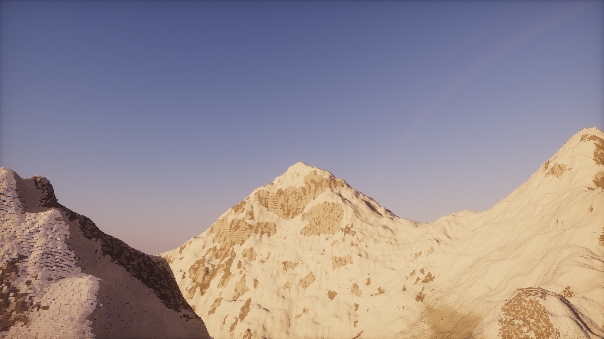
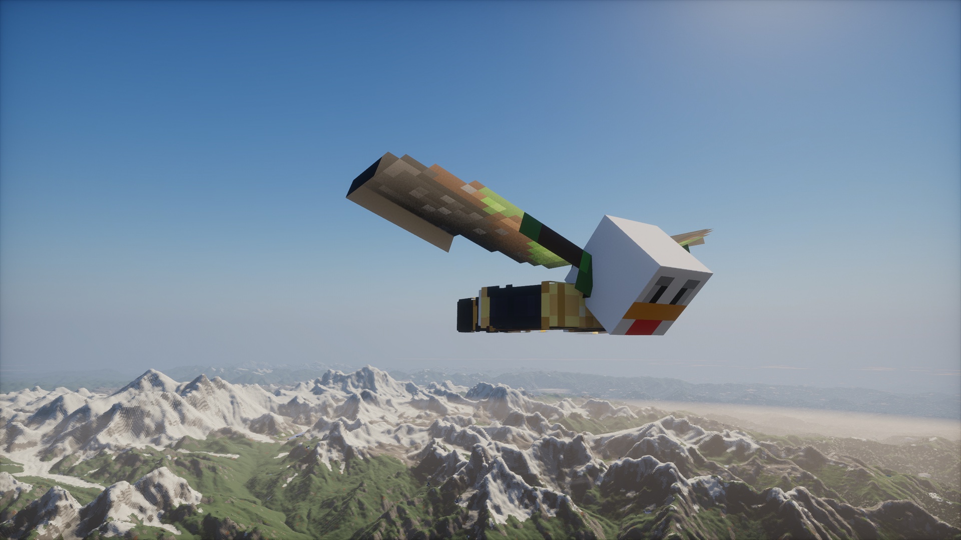

- Real ground. Elevation, land cover and climate come from open satellite and survey data. The United States uses the USGS 10 m survey, and Japan, France, much of Canada and Antarctica use their own detailed surveys. Rock, soil and red ground follow real geology maps, and the Grand Canyon has its real rock layers.
- Real forests. Trees grow as tall as the real canopy measured from above. Giant sequoias stand 70 to 90 m (230 to 300 feet) tall in whole groves in the Sierra Nevada.
- Real coasts. Chalk cliffs like Dover, the Seven Sisters and the Twelve Apostles stand as sheer faces with beaches at their foot. Rocky shores break into ledges, coves and headlands, and forested river banks, as all along the Amazon, slope down to the water.
- Real ice. Glacier tongues below the snowline are bare blue ice with patches of old snow, and Perito Moreno's ice front meets its lake.
- Real climate, vanilla biomes. Every place gets the biome its real climate calls for. The Amazon is jungle, the Serengeti is savanna, Siberia is snowy taiga, and the Everglades grow mangroves.
- Real water. Lakes sit at their surveyed level, rivers carve their way to the sea, and reservoirs fill the valleys they drowned.
- Still Minecraft. New worlds use Minecraft's own caves, and ores, villages and the other vanilla structures generate. The Nether and the End work through normal portals. Mine, craft, build and die as usual. A plain compass points to your spawn.
There are no cities or roads. Built-up land becomes the wild land around it, so Manhattan is yours to rebuild.

On a dedicated server everyone shares the same planet. Operators can pick the spawn on the globe or give each player or team their own start anywhere on Earth. Players get homes, warps, teleport requests and random trips to dry land, and can point their compass at a friend to track them down. The server can fence play inside a country, and "Now entering France" pops up as you cross a border. There's also a live web map of who is where. Every feature can be switched on or off in game with /earth settings, no restart needed.
Works with your other mods. Create, Mekanism, Waystones, the Twilight Forest, JEI, Jade and the popular map mods work in the Earth world, and trees and structures other mods add through biome modifiers or data packs generate there too. Also:
- ComputerCraft. CC: Tweaked turtles move at any height, and wireless modems, rednet and GPS work.
- Building tools. WorldEdit works at any height and anywhere on the planet on NeoForge, and Axiom does on Fabric.
- Replay Mod. Record your trips and render them with the Earth's far terrain in the shot, jet stream glides included.
- Sodium. Earth Platform has its own page in Sodium's Video Settings for the far view, its sharpness and the cloud height.
- Zoom mods. Zoomify, the spyglass or a narrow field of view load finer far terrain where you look.

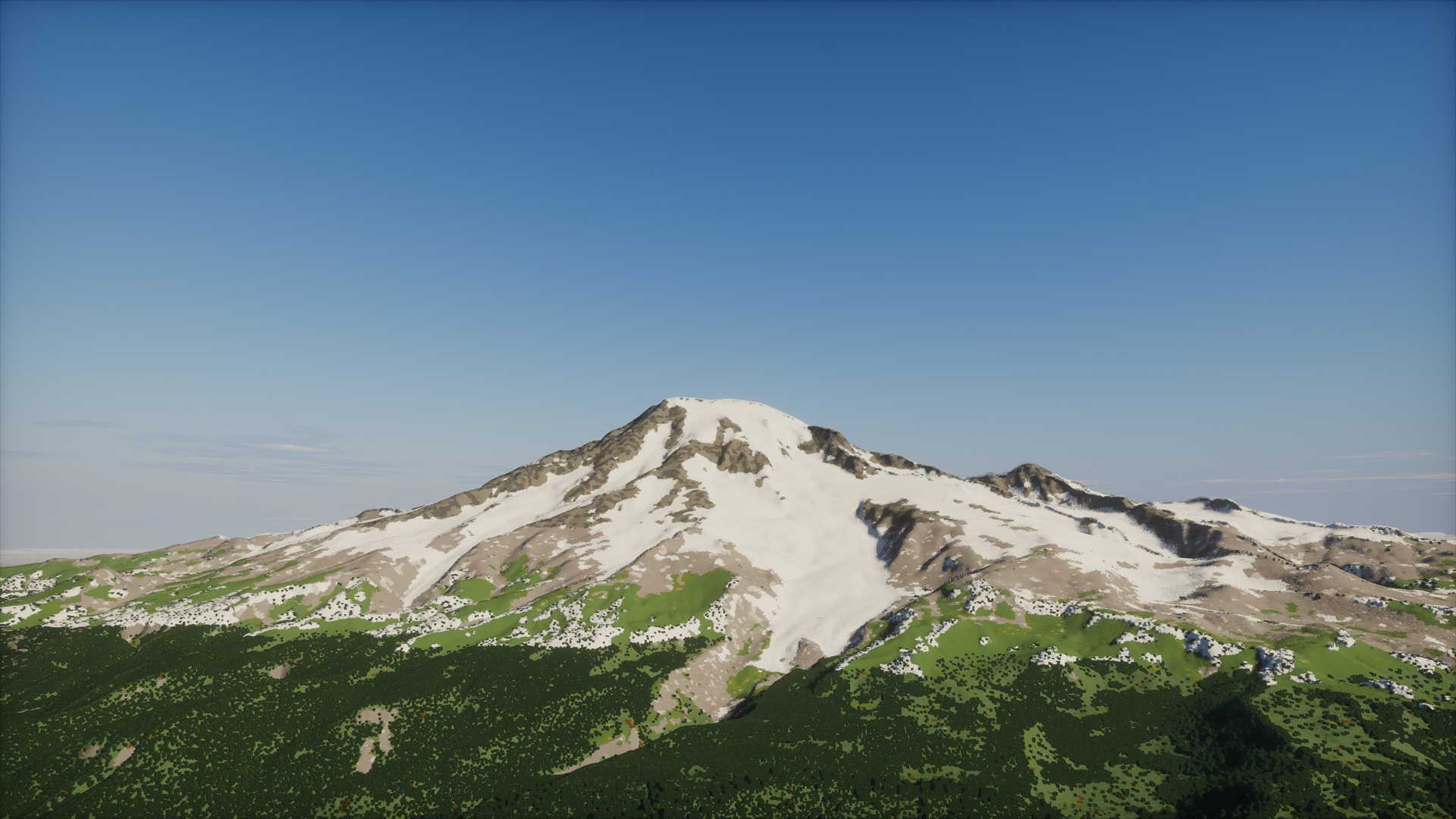
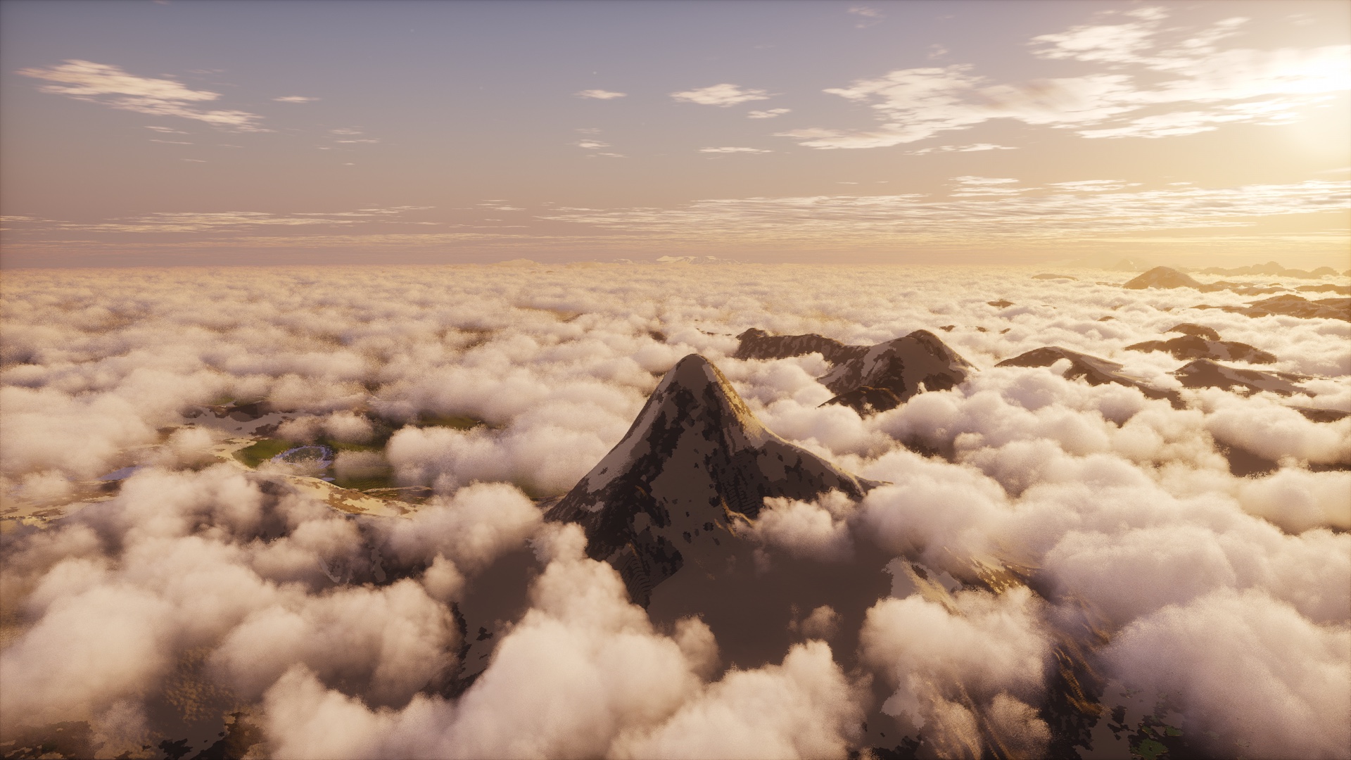
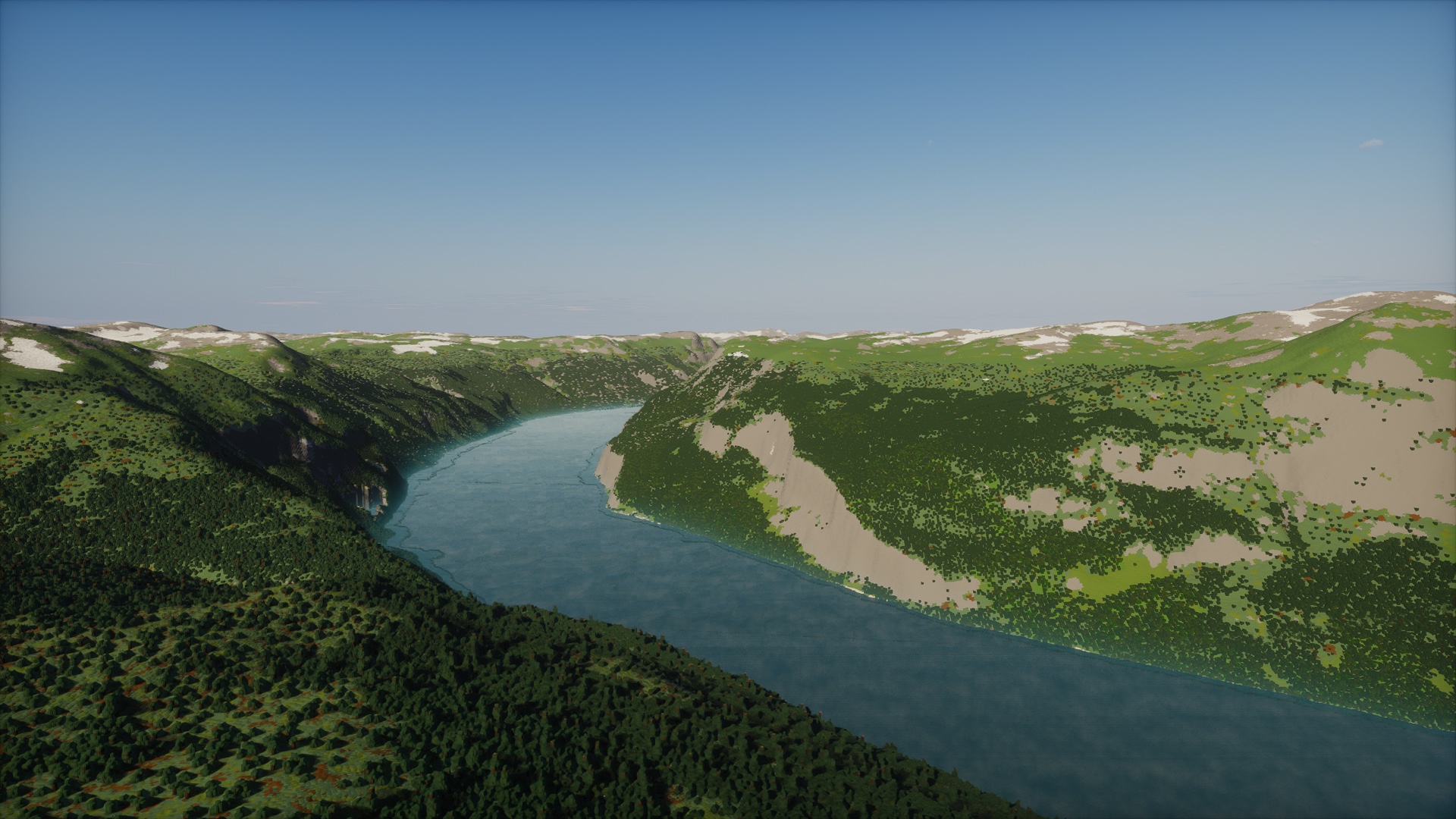
More pictures, including the survival map, ocean currents, postcards and spyglass zoom, are in the Gallery tab.

- Install NeoForge 21.1.256 or newer, or Fabric Loader 0.16.14 or newer with Fabric API, for Minecraft 1.21.1. Put the Earth Platform file for your loader in
mods. - Give the game at least 4 GB of memory, or 6 GB with shaders. Earth tells you in chat if it has too little.
- Singleplayer → Create New World. The world type is already Earth. Press Customize to pick where you start from a list of famous places, a globe, or any latitude and longitude.
The first visit to a place downloads its terrain, so you need internet then. After that it's saved and works offline.
Shaders: add Sodium 0.8, Iris 1.8 and a shader pack that supports Voxy, such as the stock Photon v1.3b. Photon lights near blocks and far terrain alike, Macs included. The mod makes an adapted copy of Photon for Apple's OpenGL and leaves your zip untouched. Packs made for Distant Horizons, like Bliss, light far terrain too. Photon is the one we test.
Other performance mods: Sodium, Lithium and FerriteCore are fine. You don't need Distant Horizons or Voxy, because Earth Platform draws its own far terrain (if Distant Horizons is installed, Earth pauses it in Earth worlds). Leave out C2ME and Moonrise for now. Earth terrain has its own generator and lighting, so they won't speed it up.
Running a server
- Install a NeoForge or Fabric server (with Fabric API on Fabric) and put the Earth Platform jar in the server's
modsfolder. Players need the same version and the same loader. - Before the world is first created, set
level-type=earthplatform\:earthinserver.properties. - Optional: set
defaultHomeinconfig/earthplatform-common.tomlto a place from/earth placesor tolatitude,longitude.
The server downloads the Earth data and streams the terrain to players. On NeoForge, a player whose Earth Platform build doesn't match the server's is told so when they connect. To have an area ready before anyone arrives, pre-generate it with Chunky: /chunky world earthplatform:cubic, set a center and radius, then /chunky start. All commands are in Playing on the Earth.
Alpha
This is an early release. Start a fresh world and keep backups. On Fabric, use Axiom rather than WorldEdit. If something breaks, please open an issue. /earthperf export saves a performance log you can attach; it only writes a file on your computer.
Internet use
The mod downloads map data and nothing else. When you reach a new area, it fetches elevation, land cover, climate, surface water and tree heights from the providers' public servers: mostly Amazon's Open Data buckets, plus ESA, JRC on Google Cloud Storage, the CHELSA server in Switzerland, and the national mapping agencies of Japan (GSI) and France (IGN). It never uploads anything, has no telemetry or account, and never downloads code. Data is cached on your computer, up to 8 GB by default. On a server, only the server downloads; players get their terrain from the server. Details are in the privacy page.

Earth Platform would not exist without open data. Every mountain, coastline, forest and river comes from data that scientists, space agencies and mapping agencies collected over many years and chose to share. Thank you.
Elevation from AWS Terrain Tiles (USGS 3DEP, SRTM, GMTED2010, NOAA ETOPO1, Copernicus EU-DEM, ArcticDEM and national mapping agencies), Copernicus DEM GLO-30 (produced using Copernicus WorldDEM-30 © DLR e.V. 2010-2014 and © Airbus Defence and Space GmbH 2014-2018 provided under COPERNICUS by the European Union and ESA; all rights reserved), USGS 3DEP (courtesy of the U.S. Geological Survey) and REMA (Polar Geospatial Center, University of Minnesota; DEMs provided by the Byrd Polar and Climate Research Center and the Polar Geospatial Center under NSF-OPP awards 1043681, 1542736, 1543501, 1559691, 1810976, and 2129685). Canada: High Resolution Digital Elevation Model (HRDEM), Natural Resources Canada; contains information licensed under the Open Government Licence – Canada. France: IGN, RGE ALTI (Licence Ouverte / Open Licence 2.0, Etalab). Japan: source, Geospatial Information Authority of Japan website (出典:国土地理院ウェブサイト), elevation tiles, processed by Earth Platform (Public Data License 1.0).
Land cover © ESA WorldCover project 2021 / Contains modified Copernicus Sentinel data (2021) processed by ESA WorldCover consortium (CC BY 4.0). Climate from CHELSA V2.1 (Karger et al. 2017, CC0). Rivers from JRC Global Surface Water (Source: EC JRC/Google). Ecoregions from RESOLVE Ecoregions 2017 (Dinerstein et al. 2017, CC BY 4.0). Tree heights from Meta and World Resources Institute High Resolution Canopy Height Maps v2 (Tolan et al. 2024, CC BY 4.0). Rock from the Global Lithological Map GLiM (Hartmann and Moosdorf 2012, CC BY 3.0) via HydroATLAS (Linke et al. 2019, CC BY 4.0). Soil from ISRIC SoilGrids 2.0 (Poggio et al. 2021, CC BY 4.0). Red ground and the spawn globe from NASA Blue Marble Next Generation (NASA Earth Observatory, Reto Stöckli; public domain). Optional ground colors (off by default) from EOxCloudless - https://cloudless.eox.at by EOX IT Services GmbH (Contains modified Copernicus Sentinel data 2016). Country borders are made with Natural Earth. Town names and positions from GeoNames (CC BY 4.0). Full credits are in the mod (Mods → Earth Platform) and in CREDITS.md.
Thank you, Voxy and Distant Horizons. Our far terrain follows ideas from Voxy by Cortex and Distant Horizons by James Seibel and contributors. We'd have used them directly, but neither works with cubic chunks, so we wrote our own renderer. It contains no code from either.
Built on NeoForge and Fabric. The Fabric jar bundles Forge Config API Port by Fuzs (MPL-2.0) with NightConfig (LGPL-3.0).
The terrain is generated from this data, with changes and procedural detail to make it work as Minecraft terrain. Don't use it for navigation. Earth Platform is free software under the GNU LGPL 3.0, and the source is on GitHub; the Earth data keeps its own terms.
Not an official Minecraft product. Not approved by or associated with Mojang or Microsoft.
Earth Platform Team