
LiDAR Scan
- By

The world is not drawn: you see only the points your lidar measured, with range, reflectance, noise and multiple returns following the lidar equation.
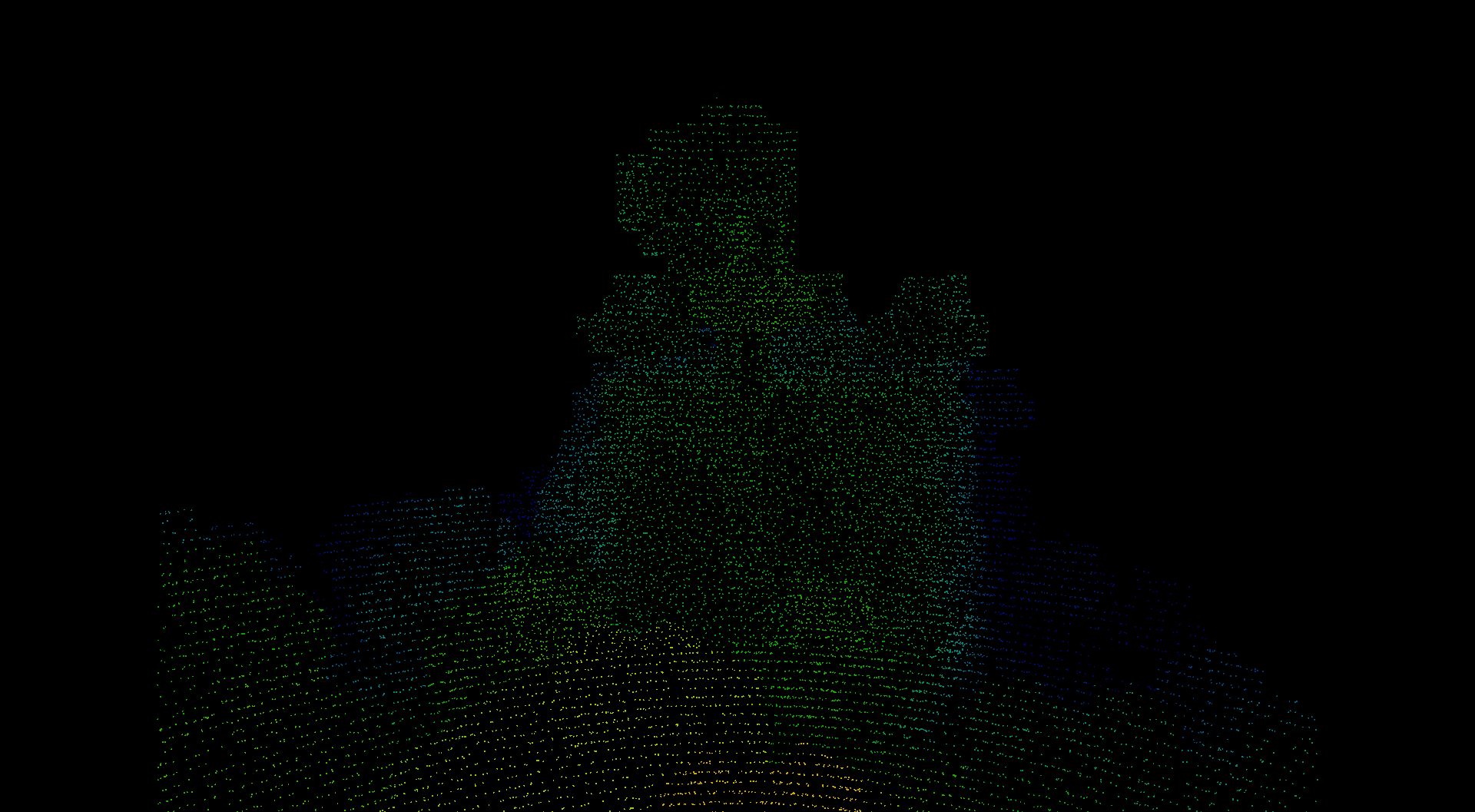
What the mod shows: only the points the sensor measured, on black
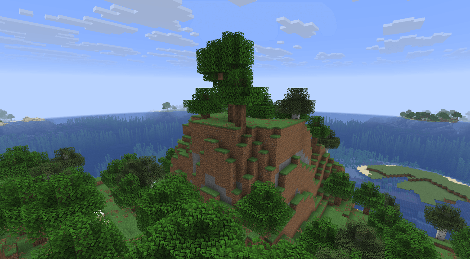
The same spot with normal rendering, for comparison.
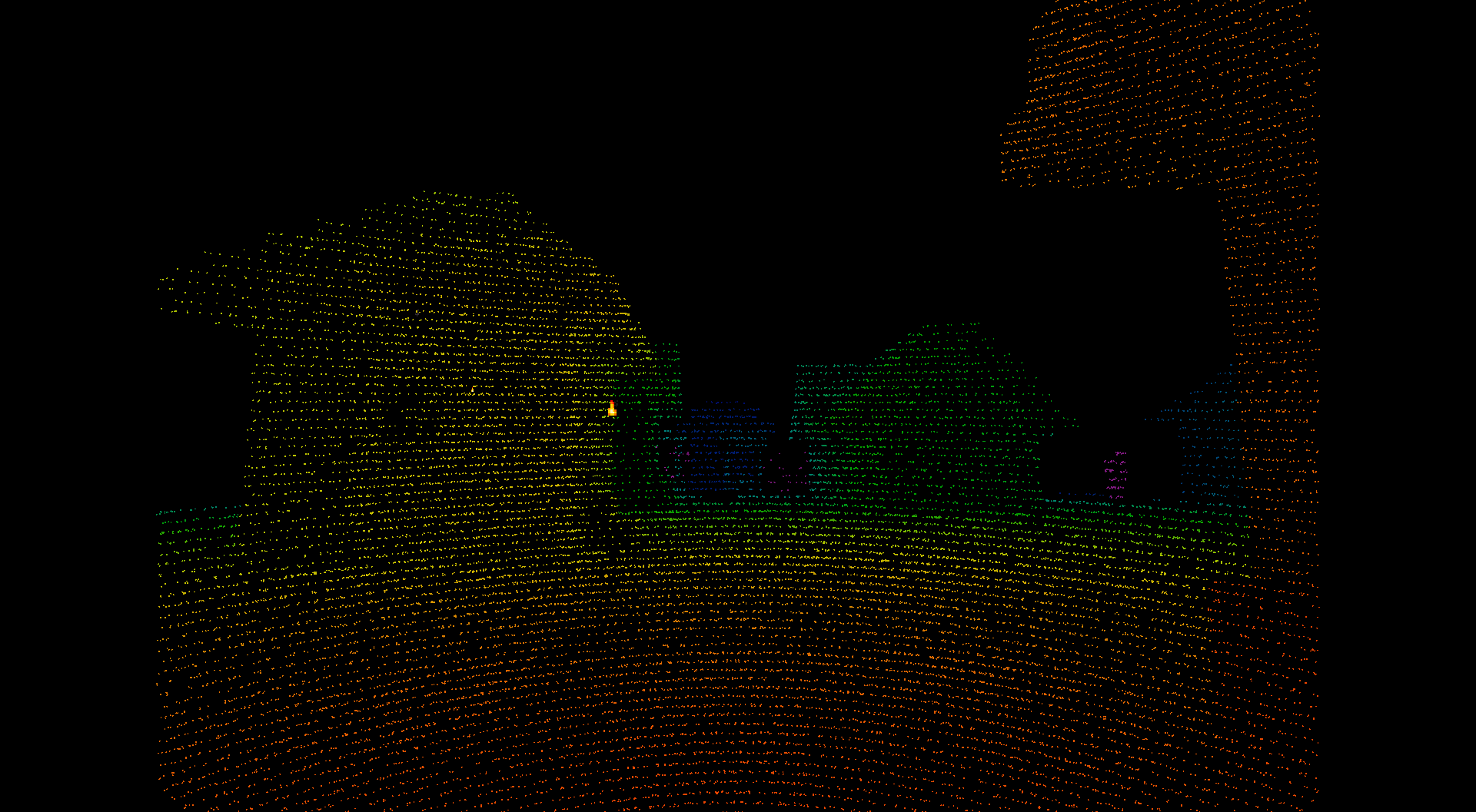
Scan lines and the distance colour ramp are visible.
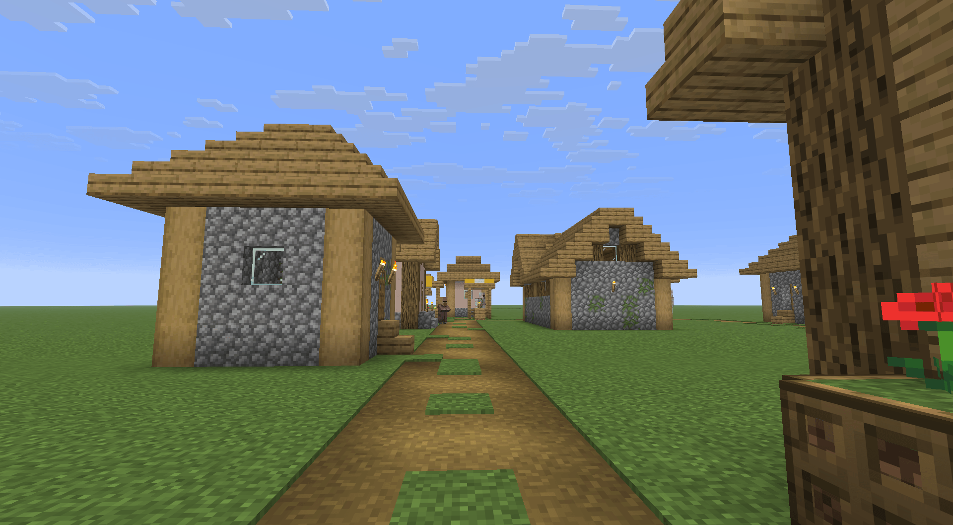
Before scanning, with the world drawn.
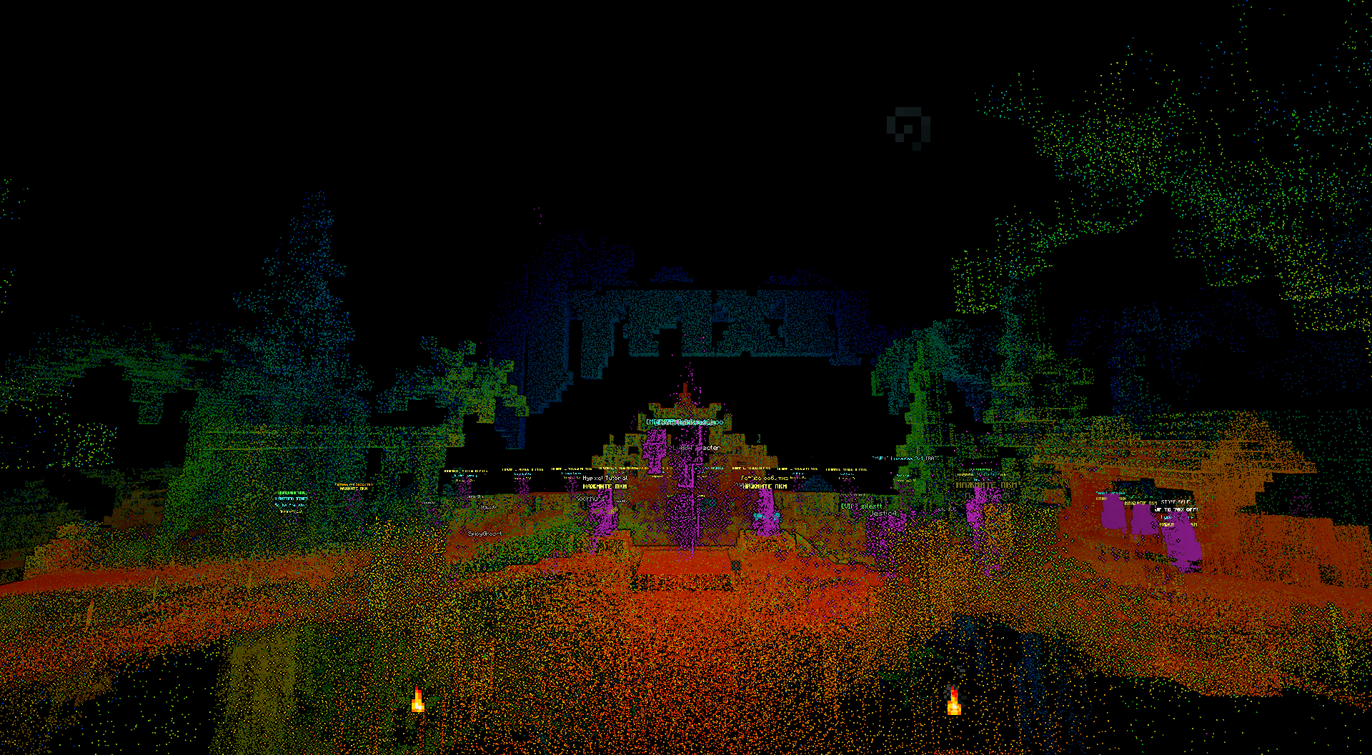
The mod is client side. Nothing is installed on the server, and it reads no block data the client does not already receive.
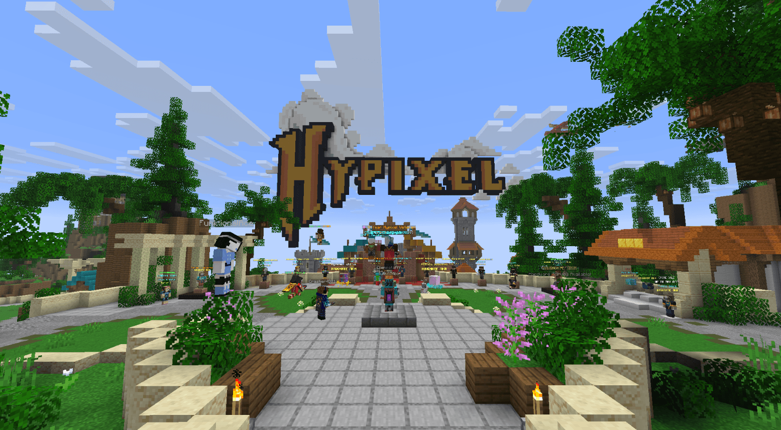
Builds by the server, not by the mod.
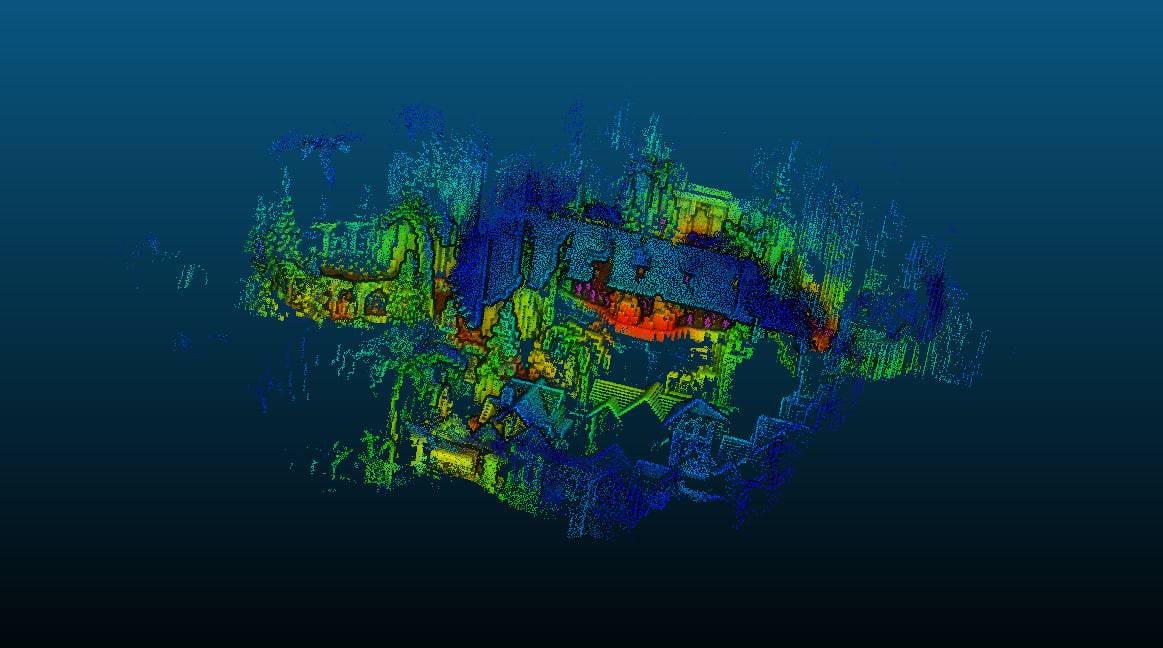
The LAS 1.4 export opened in CloudCompare. Each point carries the colour the mod recorded, here the distance ramp.
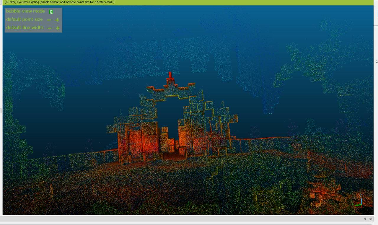
The same cloud with EDL shading, which brings out depth.
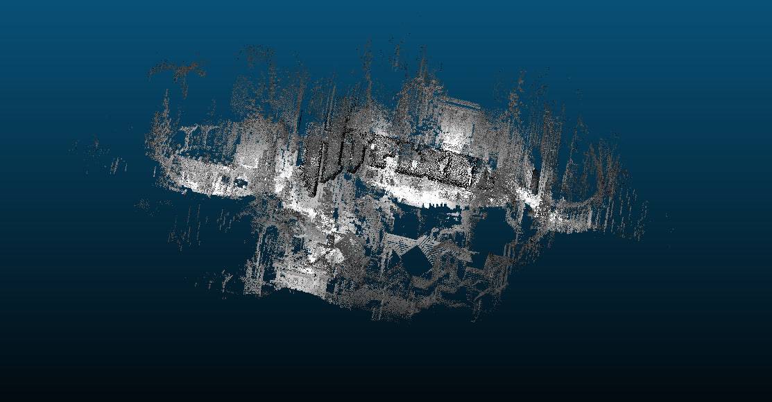
Grey here means CloudCompare is displaying a scalar field, not that colour is missing. The colour is in the file, as the two images before this one show.