FT's Geology
- By
A geology layer for Minecraft: real plate tectonics driving real landforms. Strongly recommended alongside Flowing Fluids and especially Terralith.
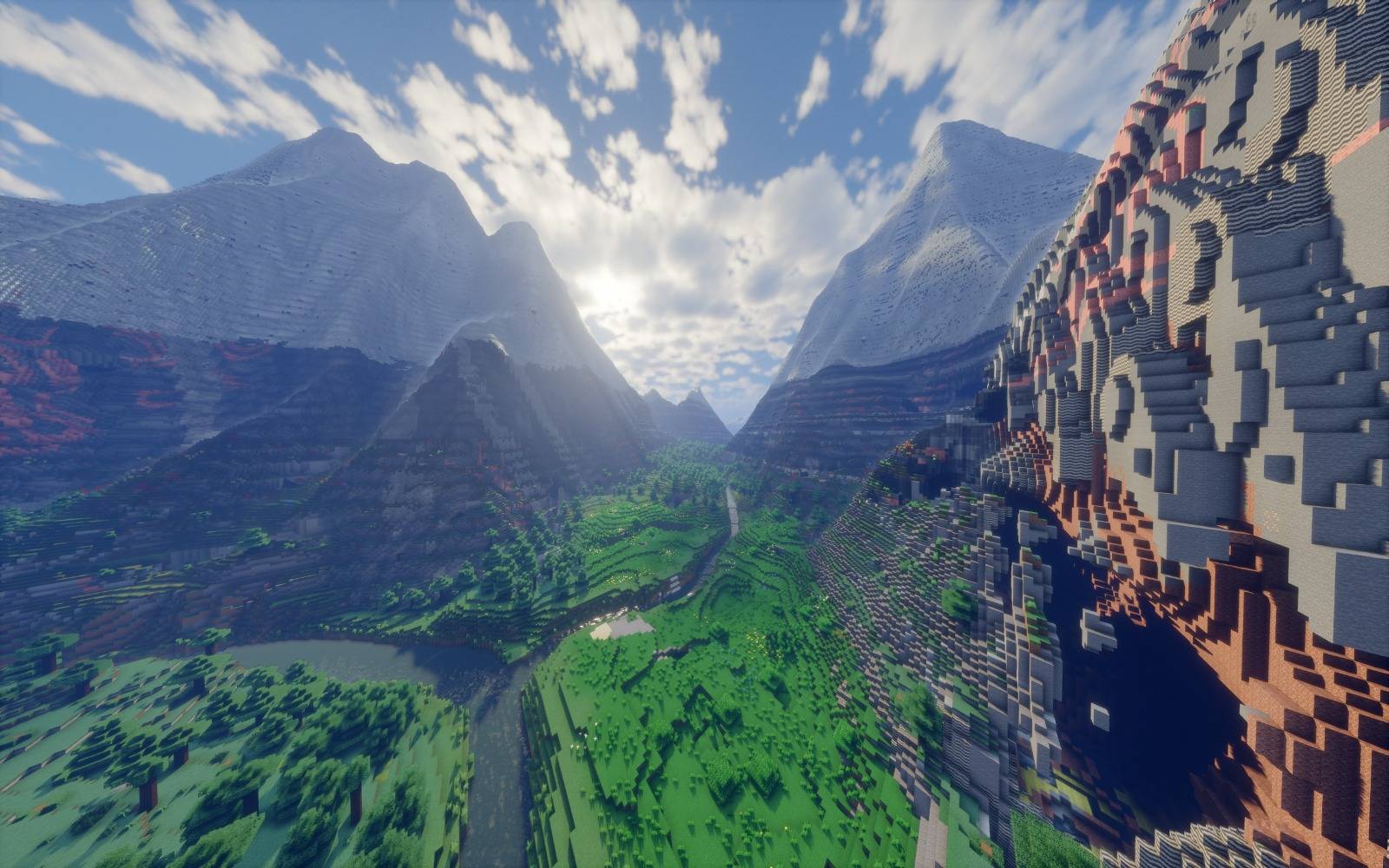
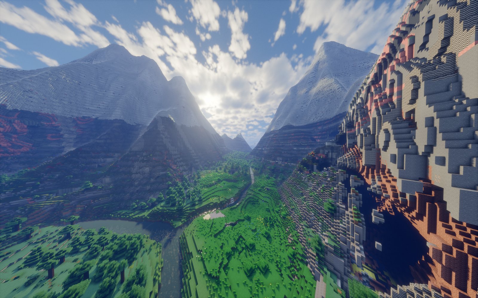
Valley (K2)
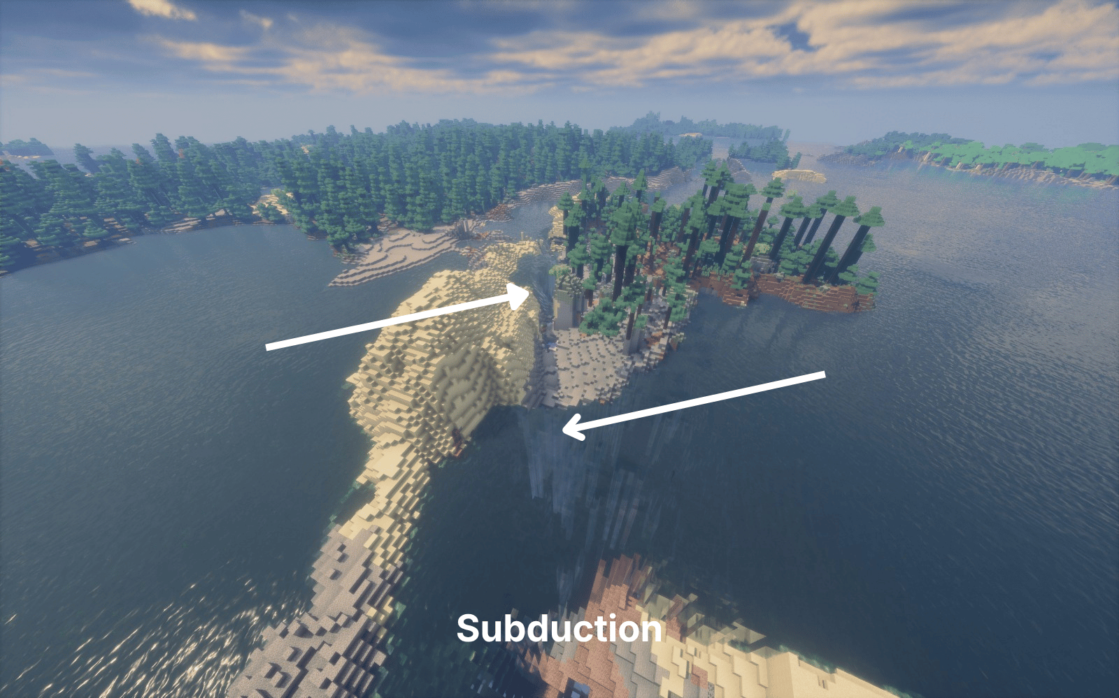
Subduction (1).png
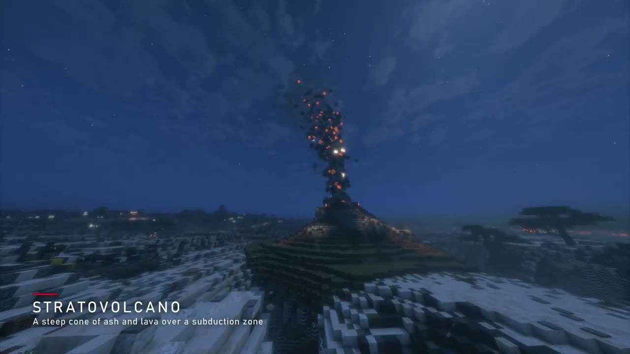
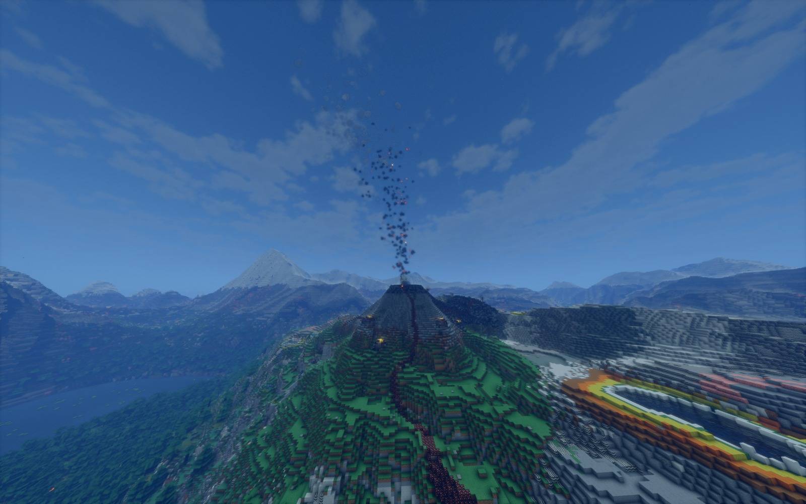
Stratovolcano
a1a9bcff-3adc-448c-94ec-cbabf9685a4c.jpg
Description
A geology mod that reshapes world generation with realistic plate tectonics and aims to make the world feel geologically real.
Forge 1.20.1 · NeoForge 1.21.1 · no required mods · Wiki
New in 0.11.3: ore bodies you can find from the surface, shallower and more natural rivers, Streams Reflowing support, a settings screen, and now on NeoForge 1.21.1. Full changelog
A world built by plates
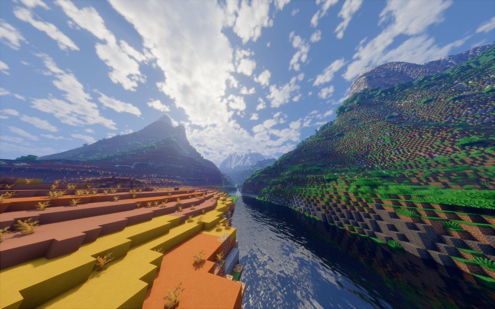
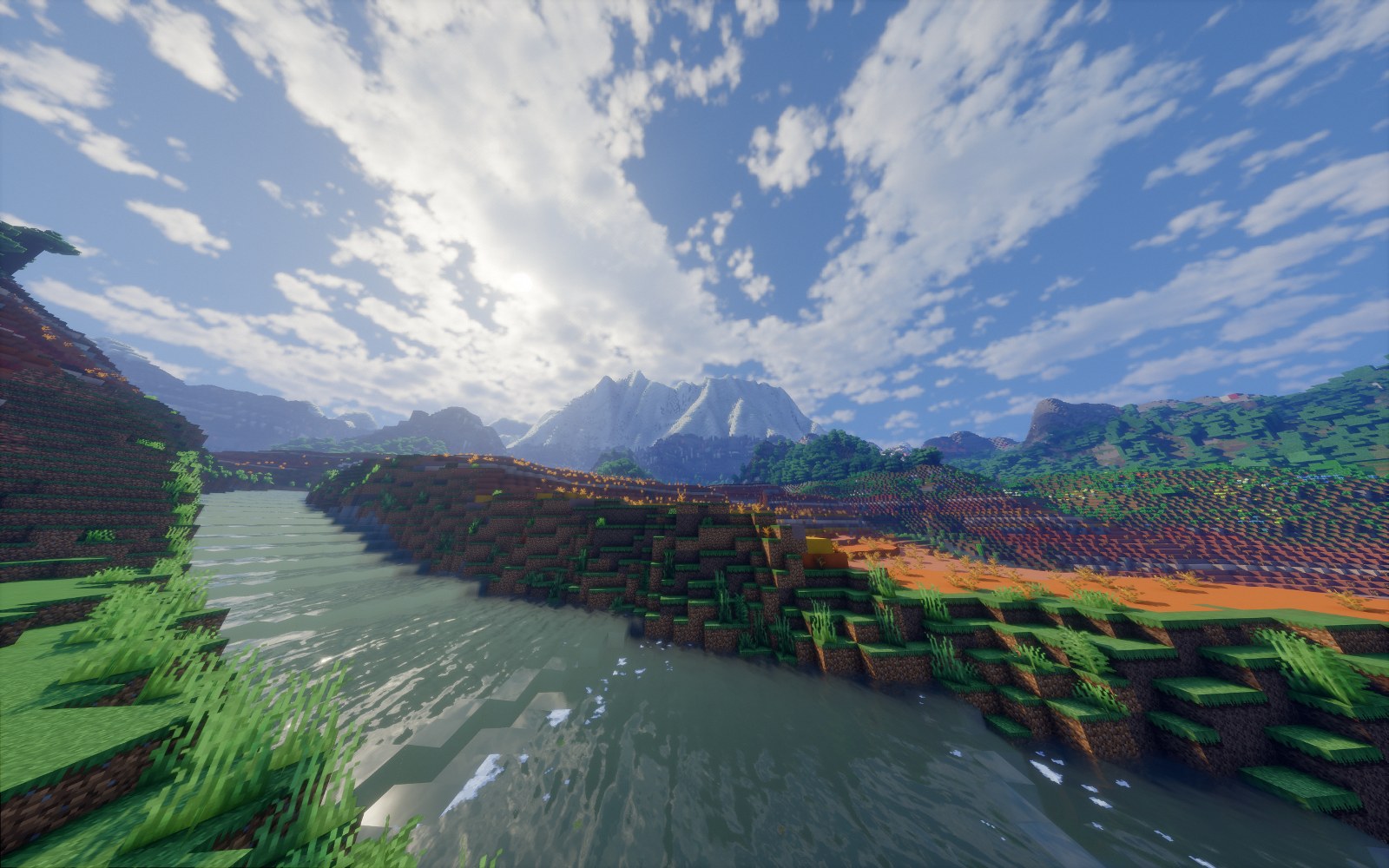
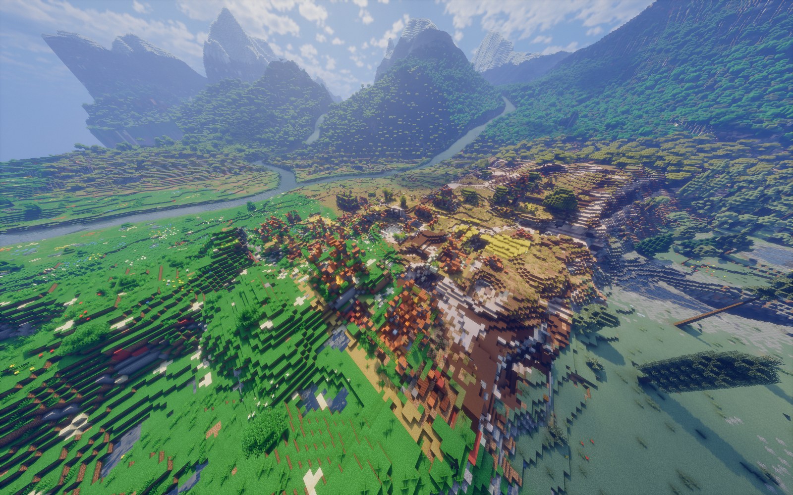
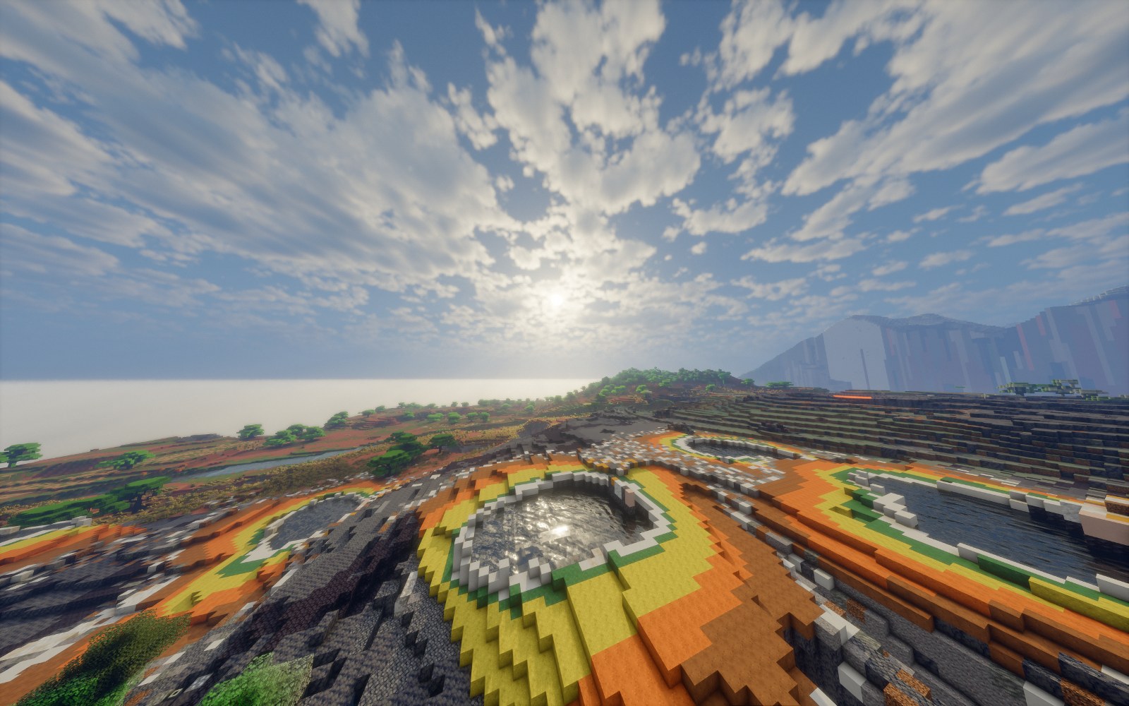
The mod raises the world height to 960 blocks and widens the world horizontally too, building mountains that balance fun with a sense of realism. For geological beauty it also adds geysers, Yellowstone-style hot springs, volcanoes and alluvial plains.
- Real mountains: ranges built from the elevation data of the Alps, the Himalayas and others, with one Everest, one K2 and one Matterhorn
- Rock layers laid out by plate setting, and ore deposits in their geological places
- Oil and gas fields
- Works well with Terralith: Terralith's biomes grow on the mod's terrain
If a terrain mod such as Tectonic or Biomes O' Plenty is installed, the default world uses that mod's terrain, but you can still pick the mod's world under World Type when you create a world.
The mod's terrain needs a new world. In older worlds the earthquakes, volcanoes, weather and instruments still work.
Earthquakes
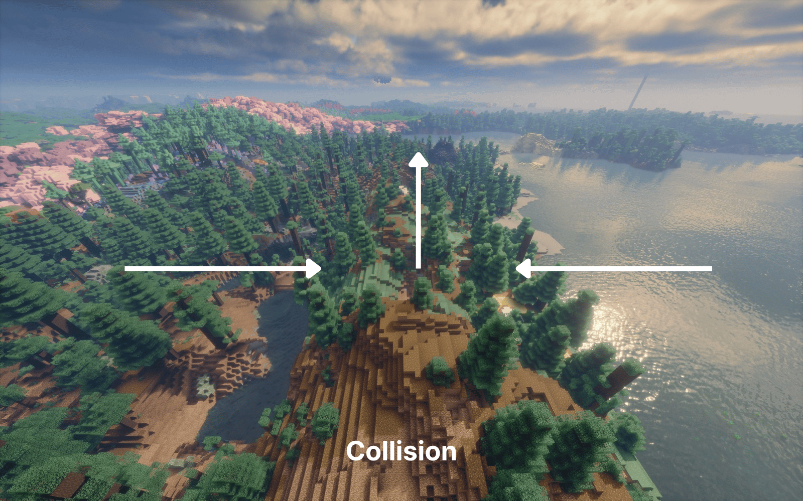
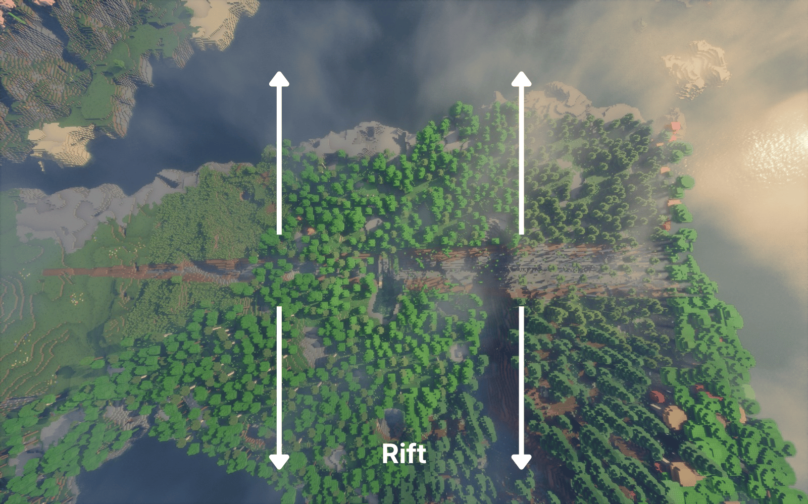
The mod adds rift, subduction, collision and transform faults along the plate boundaries, and the earthquakes come from these faults: each stretch of a fault builds up strain and breaks in its own time.
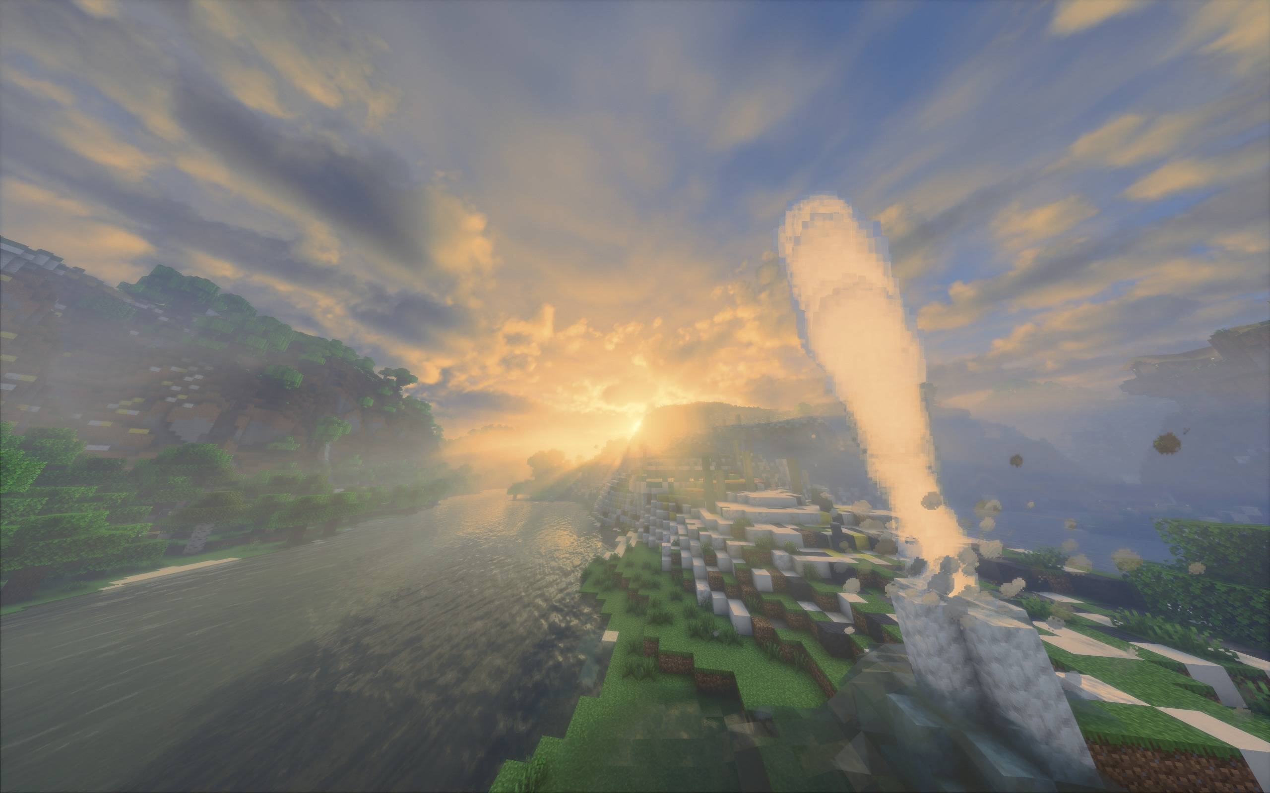
- Earthquakes can wake a sleeping volcano, open new hot springs and change the rhythm of geysers
- A big one can damage player builds hundreds or even thousands of blocks away; how badly depends on what a building is made of and what it stands on
- Wet sandy ground liquefies and steep slopes slide
Volcanoes
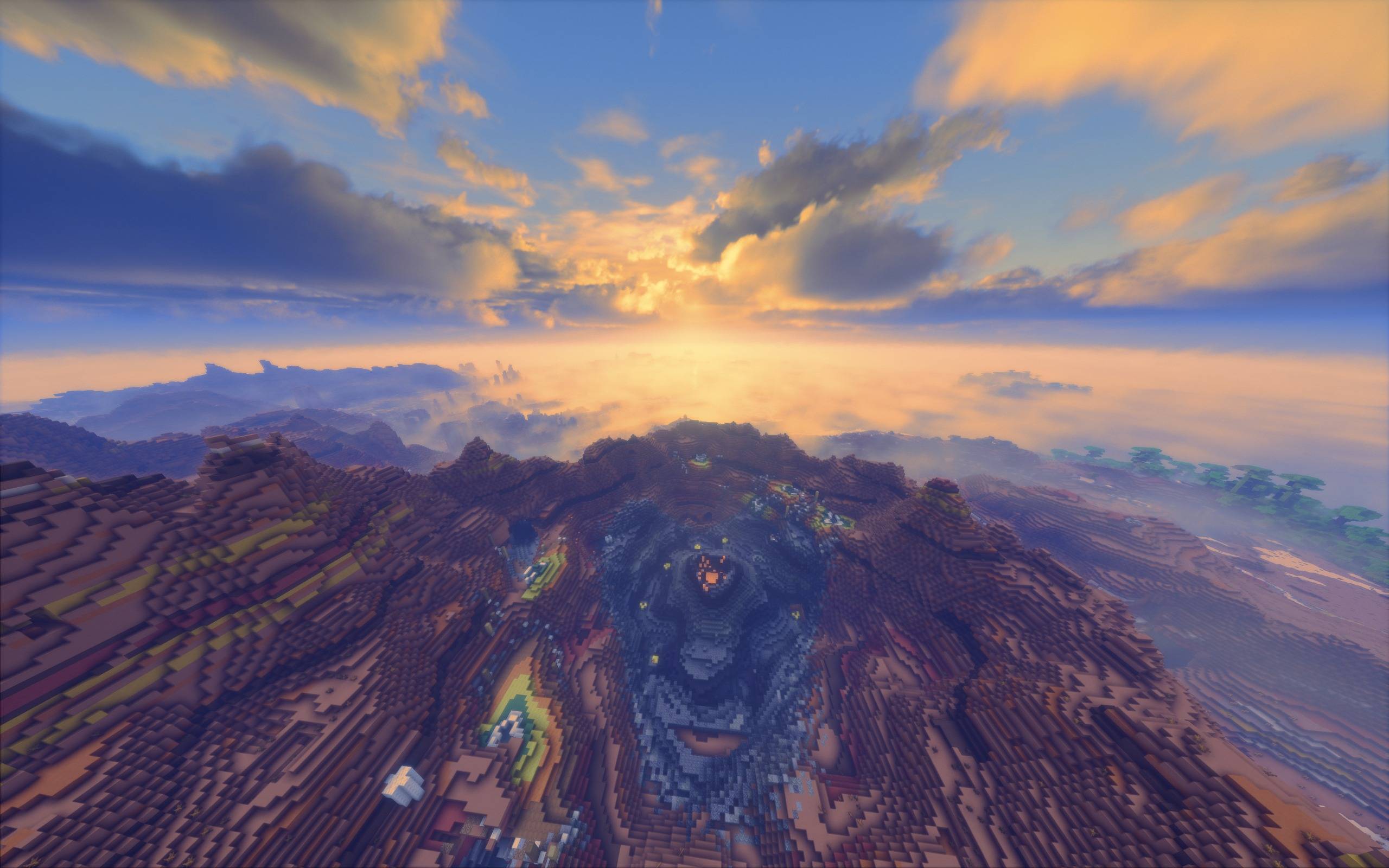
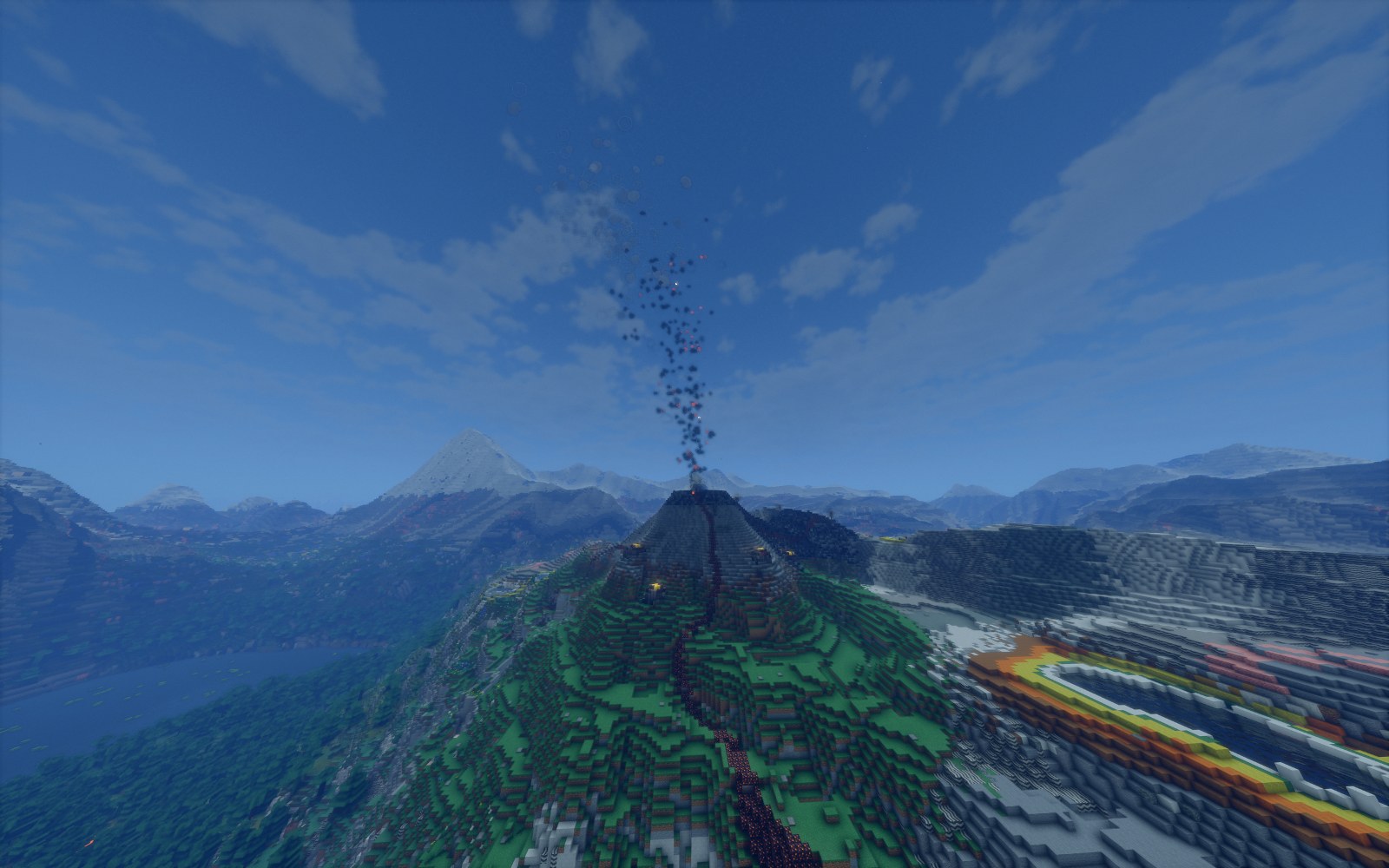
4 volcano types (stratovolcano, fissure, caldera and shield), each in 3 sizes and 3 states: active, dormant and extinct.
- A volcano warns before it erupts, with swarms of small quakes and swelling ground
- Eruptions bring lava, volcanic bombs, pyroclastic flows (clouds of hot ash and gas racing down the slopes), volcanic gas and ashfall, which buries crops and can bring down a roof it piles up on
- On rifts, fissures hundreds of blocks long open up, as they do in Iceland
Ore bodies
Big ore bodies reach the surface in the mountains: porphyry copper with a rusty cap stained green and blue, and white gold-bearing quartz reefs. You find them on bare rock, and you can follow the pieces streams carry down, or the gold in their gravel, up to the body. The hammer tells you which way the richest ore lies and how deep, and a core drill gives its thickness and grade.
Vanilla ores also take the look of the rock they sit in, and coal forms where it should: in the basins and lowlands, not in the mountain cores.
Rivers and water
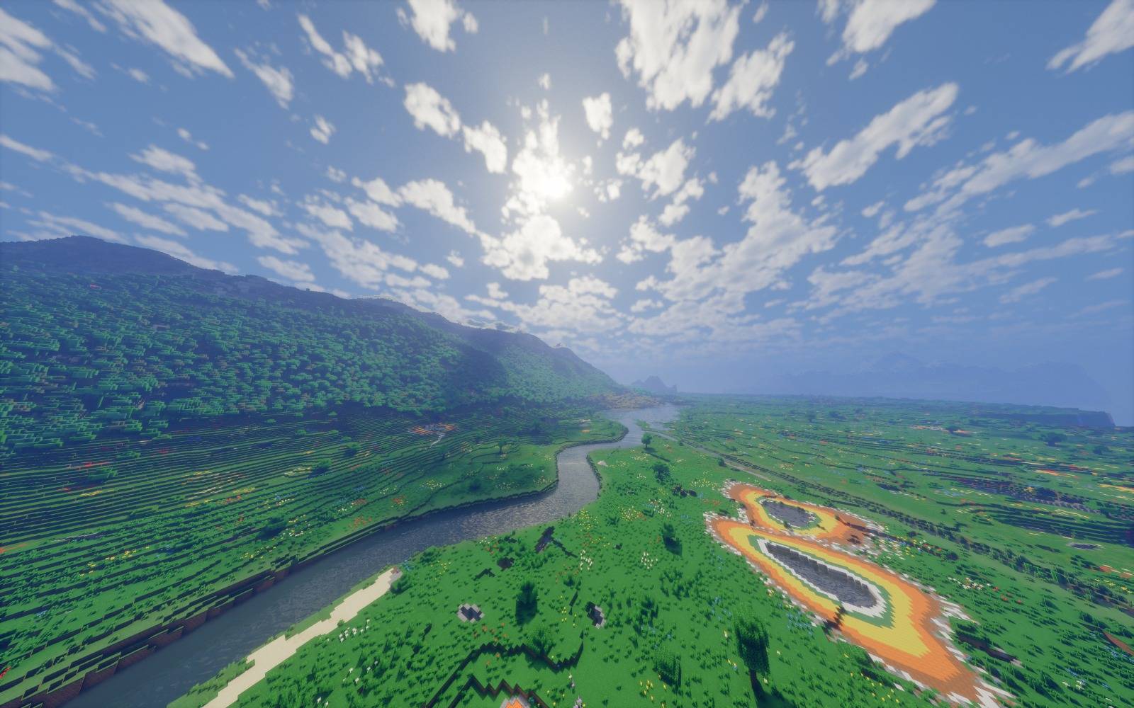
Instead of vanilla rivers, the mod brings a more realistic river system built from height, flow and the land itself.
- A river starts as a small stream, widens as its branches join, and every river reaches a lake or the sea
- Rivers can rise from springs or from under the ice tongues of mountain glaciers, and on limestone they can sink into a swallow hole and carry on through a cave
- River water is its own block, but it behaves like vanilla water and works with Create and many other tech mods
The mod also adds a water system:
- Soil soaks up rain and dries out in the sun and under plants, and the colour of the grass shows how wet the ground is
- You can pump groundwater with a well pump, but pump too much and the water table drops: springs and small streams dry up, clay plains sink, and sinkholes open in limestone country
- Heavy rain on soaked ground makes rivers flood
- You can dam a river, but a thin dam will break
- Sea water is salty and does not water crops
Weather
Rain no longer falls everywhere at once; it comes with storms that drift with the wind. There are three kinds:
- showers that pass within an hour
- fronts that rain for most of a day
- broad rains that hang on for days in a wet spell
How much rain a place gets depends on its climate: slopes facing the wind are wet and the land behind them is dry. It works with Serene Seasons, so rainfall and river levels change with the seasons. With the FT's Geology: Feel the Nature addon you can also hear the rain and wind in realistic sound.
Gases
To show what geology does, the mod has a gas system too.
- Firedamp (methane) gathers in the voids next to coal seams, and you can guess what happens when you strike a flint and steel :)
- Carbon dioxide pools in volcanic craters, hollows and limestone caves and will suffocate you
- Oil fields hold natural gas above the oil, and some hold toxic hydrogen sulfide
But gases are not only there to cause trouble: you can build an electrolyser, store hydrogen and burn it as furnace fuel, turn it into FE with a gas engine if you play with tech mods, or keep warm with a gas heater if you play with Tough As Nails. Along with hydrogen there are nine gases in all, including methane, carbon dioxide, carbon monoxide, hydrogen sulfide and sulfur dioxide.
Instruments and power
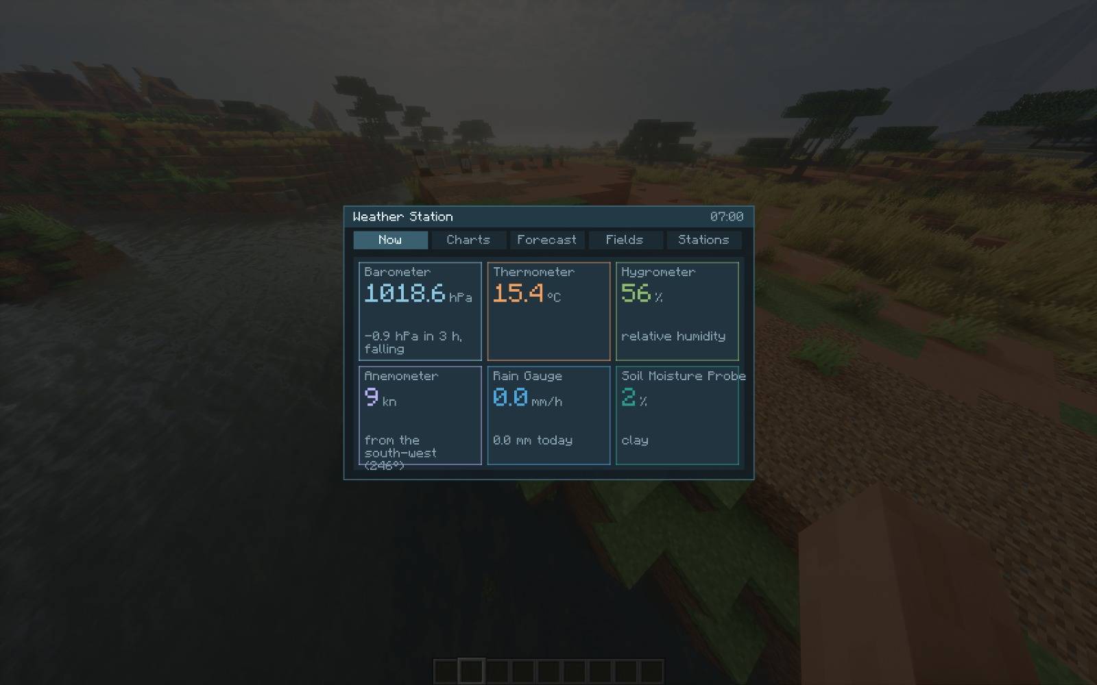
Geologist's hammer, fault compass, core drill, geothermal probe, geological map, seismograph, weather station and volcano observatory.
- The seismograph records quakes thousands of blocks away
- The hammer tells you the rock type and the layers beneath, and leads you from ore minerals to the deposit nearby
- The weather station gives a three-day forecast
- If you play with tech mods, a geothermal turbine makes FE from a well drilled down into a hot spring or geyser, and with Create a crankshaft on the gas engine gives mechanical power
There is also a 53-page in-game field guide and 18 advancements.
Optional settings
These are off by default; turn them on in the server config if you want them:
soilWaterChangesGround: droughts change the ground too. Grass dies back in a long drought, a field away from water stays moist while its soil is wet, and soil soaks up water you pour on it.emergentEnabled: player-built geysers. Water over rock over lava turns into a live geyser, which can blow up a base.
The ore bodies, the rock-specific ores and the new coal placement are on by default and can be turned off with oreOutcrops, rockOres and coalWhereItForms.
Your own settings (river foam, leaves on the rivers, storm clouds) are in Mods > FT's Geology > Config. If the rivers cost you frames, turn off the foam and the leaves first.
Compatibility
Works with TerraFirmaCraft, Terralith, Streams Reflowing, Distant Horizons, Create, Electrodynamics, Serene Seasons, Tough As Nails and Oculus. With Streams Reflowing, Streams draws the streams and the mod keeps its big rivers and lakes. On NeoForge 1.21.1 there is no TerraFirmaCraft support, since TerraFirmaCraft has no 1.21.1 version.
Links
- Wiki
- Bug reports
- Source code (GPL-3.0)
FT's Geology Team