T7 Hazard Atlas
- By
Live hazard map, radar HUD and summaries for Tornado7 storms, tornadoes and earthquakes
T7 Hazard Atlas is a client-side companion mod for Tornado7 that turns live storm data into a readable tactical picture: a full-screen hazard atlas, a situation summary, an on-screen radar HUD, and optional markers pushed straight into Xaero's Minimap / World Map or JourneyMap.
Requires Tornado7. Client-side only — no server install needed. Minecraft 1.21.1, NeoForge.
Features
- Hazard Atlas (O) — full-screen themed map of tornadoes, waterspouts, earthquakes, tsunami fronts and tails, and storm cells around you, color-coded by severity and updated live.
- Summary (U) — compact situation report: what is happening, how dangerous, how far.
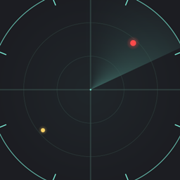
- Radar HUD — mini radar with rotation, labels, opacity and scale controls, placeable in any screen corner.
- External map markers — hazards are pushed into Xaero's Minimap/World Map and JourneyMap waypoint sets, each source toggleable separately in settings, colors by severity.
- Glossary (G) — what every marker, term and severity level means.
- Themes — 10 preset visual themes plus a custom hex color editor, all with live previews.
Keys
| Key | Action |
|---|---|
| O | Open hazard atlas |
| U | Open summary |
| I | Open settings |
| G | Open glossary |
All keys are rebindable in vanilla Controls.
Compatibility
- Requires: Tornado7 (data source)
- Optional: Xaero's Minimap / Xaero's World Map, JourneyMap — markers only appear when the mod is installed and enabled in atlas settings.
The atlas reads data exposed by Tornado7 and adds nothing server-side; remove it at any time without world changes.
T7 Hazard Atlas Team