
LATEST TRAILER
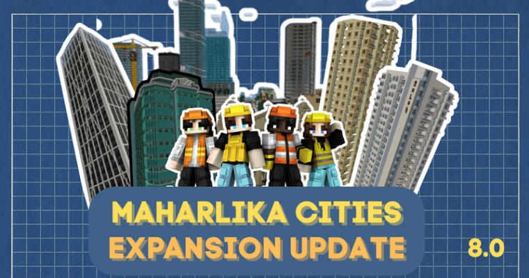
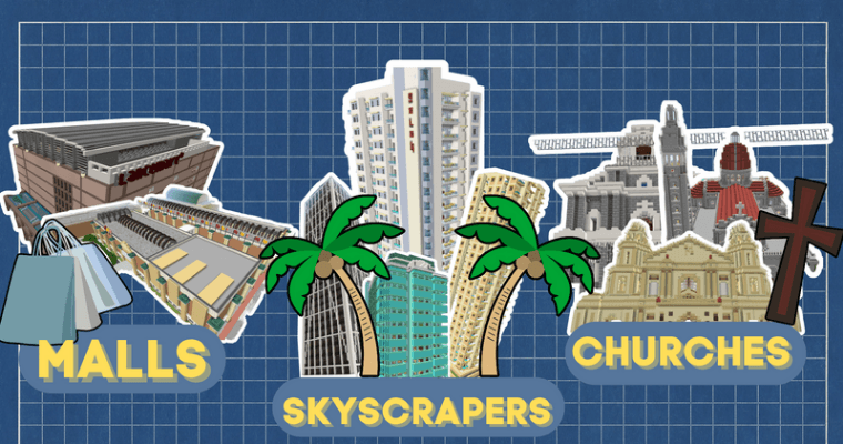
Maharlika City (Capital)
A busy modern city with tall buildings, markets, government centers, and active nightlife. It is the region’s main hub for trade and culture.
Laguna City (Beach City)
A peaceful coastal area with beaches, fishing docks, resorts, and a relaxing boardwalk. Known for sunsets and ocean breeze.
Nayon Town (River Mouth & Volcano View)
A quiet riverside town with a clear view of Mt. Nayon, a perfect-cone volcano. Surrounded by farmland and nature trails.
Bukid Town (Countryside Farming Town)
Wide farmlands, barns, animals, and windmills. Calm rural life focused on agriculture and community.
Agos Town (River Village)
Built along flowing rivers with small bridges and cottages. Life is slow, peaceful, and centered around fishing and water travel.
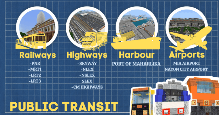
TRANSPORTATION & INFRASTRUCTURE
Maharlika and the surrounding towns are supported by a connected network of railways, expressways, airports, and seaports that enable smooth travel and trade.
RAIL SYSTEM
PNR (Maharlika National Railway Line)Long-distance rail connecting Maharlika City to Bukid Town, Nayon Town, Agos Town, and further provincial areas.Used for both passenger travel and freight transport.
MRT-1 (City Loop Line)Loops around Maharlika City’s central districts and connects directly to both ends of LRT-2, allowing fast urban transfers.
LRT-2 (North–South Line with Airport Access)Runs north to south through major residential and commercial zones.Extends westward to Maharlika International Airport.
LRT-3 (East–West District Line)Runs east to west, linking multiple neighborhoods, marketplaces, and business districts.
EXPRESSWAYS & MAJOR ROADS
NLEX (North Link Expressway)Main highway leading to the northern communities.
NSLEX (North–South Link Expressway)Connects northern and southern regions efficiently.
Central HighwayCuts through the main metropolitan districts and surrounding settlements.
NLEX EastProvides access to the eastern highlands and river towns.
SkywayElevated express route designed for fast bypass travel above city-level traffic.
AIR TRANSPORT
Maharlika International Airport (MIA)Primary airport with three terminals:
Terminal 1: International flights
Terminal 2: Domestic and regional flights
Terminal 3: New expansion for additional international flights
Direct connection to LRT-2 Airport Extension.
SEAPORTS
Port of MaharlikaMain seaport handling cargo shipping, passenger ferries, and cruise vessels. Local Coastal & River PortsLocated in Laguna City, Agos Town, and other waterfront areas for fishing, river travel, and inter-island transport.
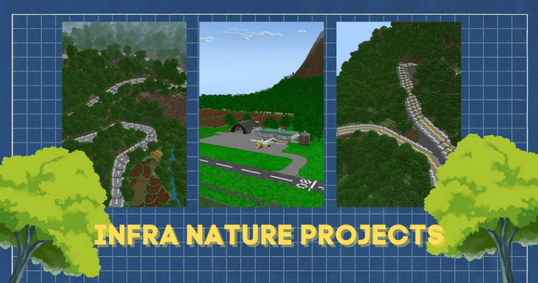
Scenic Landscape
The region features beaches, rivers, farmlands, and highlands, offering changing natural views as you travel.
Scenic Roads
Roads to Nayon Town show clear views of the river valley. Paths through Bukid Town pass wide fields and open countryside. Routes to Laguna City reveal ocean views and coastal air.
River & Nature Paths
Agos Town has riverside trails, wooden bridges, and quiet spots for walking or small boat rides.
Mountain Roads
Mountain roads near Nayon Town curve along the highlands, offering elevated views of the valley and connecting toward the Mountain City further up the slopes.
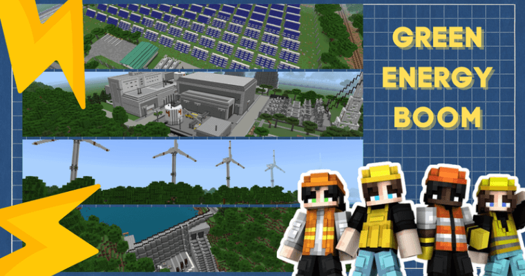
Green Energy & Sustainability
The region supports clean and renewable power to ensure long-term stability for both cities and rural communities.
Agos Nuclear Power Plant
Located near Agos Town, this nuclear plant provides reliable, large-scale energy for the entire region. It is operated with strict safety systems and minimal environmental impact.
LAMESA Dam
LAMESA Dam is the primary water source for Maharlika City, supplying clean and stable water to homes, businesses, and public facilities in the capital. It also supports irrigation for nearby farmlands and helps maintain river flow.
Agos Wind Farm
Located along the windy ridges near Agos Town, tall turbines generate renewable electricity. The wind farm has become a local scenic landmark overlooking the river valleys.
Nayon Solar Farm
Situated in the open highlands near Nayon Town, wide solar fields capture strong sunlight throughout the day. This clean energy system supports surrounding towns and reduces reliance on traditional power sources.
Follow me on my Socials
🟥 Youtube
https://m.youtube.com/@redlancelot2634
🚧Feedback and Suggestions🚧
Make sure to leave a feedback and comment to how and what ways we can improve the map
IMPORTANT

This map is free to play and share to any websites. But please leave a credit and I will highly appreciate it. Also link my socials and the original MCPEDL page. Don't share the direct link. This is just a little reward for my hardwork.
Map sharing or Featuring on the Vid is allowed but make sure to have a link shared to the original MCPEDL page (if you feel like it)
Latest Version only so don't ask for downgraded version. This map is built using latest features, it might corrupt when played in lower version.