Release Date
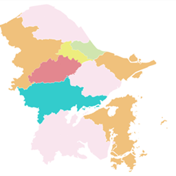
Draw provinces, states and counties on Xaero's World Map and Minimap as crisp vector overlays with borders, labels and PNG export.